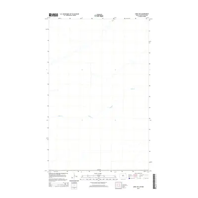
2014 Map of Leroy OE N
USGS Topo · Published 2014About this map
The international boundary of Canada forms the southern limit of this 2014 geographic study, capturing the rural landscape of the Manitoba-North Dakota borderlands. The terrain is primarily defined by the winding course of Buffalo Cr, which meanders across the territory. This map provides a clear view of the hydrological patterns of the region, where the creek's drainage system serves as the primary natural landmark in a largely open agricultural expanse. Compiled by the U.S. Geological Survey using high-resolution imagery, the map documents the precise path of local watercourses at the edge of the Municipality of Rhineland, serving as a reliable record of the physical geography along this section of the northern border.
Find a feature on this map
2 named features on this map. Tap any name to fly to it.
Don’t see what you’re looking for? This feature index may not catch every label — zoom into the map to look around manually.
Map Details
Editions of this 2014 Leroy OE N Map
This is the sole edition of this map. No revisions or reprints were ever made.
Other maps of this area

1918 · Walhalla
USGS Topo · 1:62,500

1939 · Cavalier
USGS Topo · 1:62,500

1941 · Cavalier
USGS Topo · 1:62,500

1943 · Walhalla
USGS Topo · 1:62,500

1952 · Thief River Falls
USGS Topo · 1:250,000

1956 · Thief River Falls
USGS Topo · 1:250,000

1957 · Thief River Falls
USGS Topo · 1:250,000

1964 · Leroy
USGS Topo · 1:24,000

1964 · Walhalla
USGS Topo · 1:24,000
1964 · Cavalier NW
USGS Topo · 1:24,000