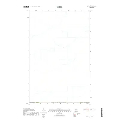
2017 Map of Leroy OE N
USGS Topo · Published 2017About this map
The international border between Canada and the United States dominates this northern landscape, marking the northernmost edge of Pembina County, North Dakota. This modern survey illustrates the rural boundary where the American Midwest meets the Canadian province of Manitoba. The map shows the intricate drainage patterns and hydrological networks that cross this political line, emphasizing the natural geography of the Red River Valley region over human settlement. With very few named local landmarks or towns identified, the focus remains on the precise delineation of the international boundary and the section lines of the Public Land Survey System that organize the North Dakota countryside south of the border.
Find a feature on this map
3 named features on this map. Tap any name to fly to it.
Don’t see what you’re looking for? This feature index may not catch every label — zoom into the map to look around manually.
Map Details
Editions of this 2017 Leroy OE N Map
This is the sole edition of this map. No revisions or reprints were ever made.
Other maps of this area

1918 · Walhalla
USGS Topo · 1:62,500

1939 · Cavalier
USGS Topo · 1:62,500

1941 · Cavalier
USGS Topo · 1:62,500

1943 · Walhalla
USGS Topo · 1:62,500

1952 · Thief River Falls
USGS Topo · 1:250,000

1956 · Thief River Falls
USGS Topo · 1:250,000

1957 · Thief River Falls
USGS Topo · 1:250,000

1964 · Leroy
USGS Topo · 1:24,000

1964 · Walhalla
USGS Topo · 1:24,000
1964 · Cavalier NW
USGS Topo · 1:24,000