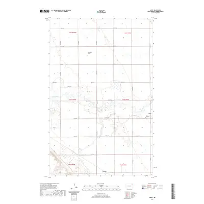
2020 Map of Leroy
USGS Topo · Published 2020About this map
Leroy sits at the eastern edge of this quadrangle in Pembina County, where the meandering loops of the Pembina River cut through the glacial till of the Red River Valley. The river’s winding course dominates the central terrain, creating a complex series of oxbows and floodplains that contrast with the rigid grid of the Public Land Survey System. Further south, the small community of Leyden marks a quiet crossing at the intersection of Co Rd 1 and 132nd Ave NE. Local history is anchored by the Saint Joseph Cem near Leroy, serving as a genealogical record for the families who settled this northern prairie. The landscape is characterized by its agricultural geometry, interrupted only by the drainage of Hyde Park Coulee in the north and the dense riparian vegetation following the river's path across the townships.
Find a feature on this map
31 named features on this map. Tap any name to fly to it.
Don’t see what you’re looking for? This feature index may not catch every label — zoom into the map to look around manually.
Map Details
Editions of this 2020 Leroy Map
This is the sole edition of this map. No revisions or reprints were ever made.
Other maps of this area

1918 · Walhalla
USGS Topo · 1:62,500

1939 · Cavalier
USGS Topo · 1:62,500

1941 · Cavalier
USGS Topo · 1:62,500

1943 · Walhalla
USGS Topo · 1:62,500

1952 · Thief River Falls
USGS Topo · 1:250,000

1956 · Thief River Falls
USGS Topo · 1:250,000

1957 · Thief River Falls
USGS Topo · 1:250,000

1964 · Hallson
USGS Topo · 1:24,000

1964 · Leroy
USGS Topo · 1:24,000

1964 · Walhalla
USGS Topo · 1:24,000