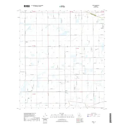
2018 Map of Leroy
USGS Topo · Published 2018About this map
Maurice and the surrounding coastal prairies of Vermilion Parish are defined by a complex network of drainage channels and small unincorporated settlements. The land follows a traditional long-lot pattern typical of Acadiana, where property lines and roads like LA Highway 92 and LA Highway 700 cut across the landscape to connect rural hubs like Andrew and Meaux. Water management is central to the area's geography, evidenced by the winding courses of Bayou Grand Marais and Granges Coulee, which drain the low-lying fields. This region is dotted with family-named landmarks and historical sites, including Broussard Cem and Abshire Cem, reflecting deep-rooted genealogical ties. The presence of Kenan Airstrip south of the central Leroy community highlights the area's reliance on both aviation and highway travel for regional connectivity.
Find a feature on this map
108 named features on this map. Tap any name to fly to it.
Don’t see what you’re looking for? This feature index may not catch every label — zoom into the map to look around manually.
Map Details
Editions of this 2018 Leroy Map
This is the sole edition of this map. No revisions or reprints were ever made.
Other maps of this area

1932 · Abbeville NE
USGS Topo · 1:31,680

1932 · Abbeville NW
USGS Topo · 1:31,680

1934 · Duson
USGS Topo · 1:31,680

1946 · Milton
USGS Topo · 1:31,680

1946 · Leroy
USGS Topo · 1:31,680

1946 · Schooner Bayou NE
USGS Topo · 1:31,680

1946 · Lafayette
USGS Topo · 1:31,680

1946 · Kaplan
USGS Topo · 1:31,680

1946 · Rayne
USGS Topo · 1:31,680

1952 · Lake Charles
USGS Topo · 1:250,000