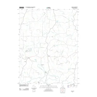
2012 Map of Leslie
USGS Topo · Published 2012About this map
The Bourbeuse River snakes through the southern half of this Franklin County landscape, shaping the local geography around historic water crossings and milling sites. Noser Mill and Peters Ford stand as markers of a riverside economy, while the smaller drainages of Saint Johns Creek and Fox Creek define the surrounding countryside. The settlement pattern is anchored by Leslie and Beaufort, connected by a network of rural routes named for the families and institutions that built the area, such as Kappelmann Rd and Methodist Church Rd.
Find a feature on this map
65 named features on this map. Tap any name to fly to it.
Don’t see what you’re looking for? This feature index may not catch every label — zoom into the map to look around manually.
Map Details
Editions of this 2012 Leslie Map
This is the sole edition of this map. No revisions or reprints were ever made.
Other maps of this area

1890 · Hermann
USGS Topo · 1:125,000

1903 · Sullivan
USGS Topo · 1:125,000

1935 · Gerald
USGS Topo · 1:48,000

1936 · Hermann
USGS Topo · 1:48,000

1941 · Gerald
USGS Topo · 1:62,500

1942 · Hermann
USGS Topo · 1:62,500

1944 · Gerald
USGS Topo · 1:62,500

1945 · Hermann
USGS Topo · 1:62,500

1946 · Union
USGS Topo · 1:62,500

1948 · Union
USGS Topo · 1:62,500