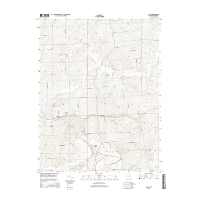
2015 Map of Leslie
USGS Topo · Published 2015About this map
The Bourbeuse River winds through the southern portion of this Franklin County landscape, shaping the local topography near Noser Mill. This area, surveyed in 2015, centers on the crossroads communities of Leslie and Beaufort, which serve as the primary hubs for the surrounding rural territory. The map reveals a dense network of family and landmark-named roads such as Bolte Ford Rd and Liberty School Rd, reflecting a long history of local settlement and land use. Genealogists can identify several burial sites including the Leslie United Methodist Cemetery, Woodman Cemetery, and Butler Cemetery. Significant water features like Mineral Lake, Little Creek Spring, and Flamingo Lakes dot the terrain, while Findley Field stands as a notable landmark in the southeastern quadrant near the confluence of Fox Cr and Boehms Cr.
Find a feature on this map
86 named features on this map. Tap any name to fly to it.
Don’t see what you’re looking for? This feature index may not catch every label — zoom into the map to look around manually.
Map Details
Editions of this 2015 Leslie Map
This is the sole edition of this map. No revisions or reprints were ever made.
Other maps of this area

1890 · Hermann
USGS Topo · 1:125,000

1903 · Sullivan
USGS Topo · 1:125,000

1935 · Gerald
USGS Topo · 1:48,000

1936 · Hermann
USGS Topo · 1:48,000

1941 · Gerald
USGS Topo · 1:62,500

1942 · Hermann
USGS Topo · 1:62,500

1944 · Gerald
USGS Topo · 1:62,500

1945 · Hermann
USGS Topo · 1:62,500

1946 · Union
USGS Topo · 1:62,500

1948 · Union
USGS Topo · 1:62,500