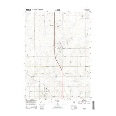
2014 Map of Leslie
USGS Topo · Published 2014About this map
Leslie and the surrounding Ingham and Jackson County landscape are defined by a complex network of drains and creeks that feed the Grand River. In this 2014 survey, the settlement of Leslie remains a central hub, anchored by the Leslie Station and the historic Woodlawn Cem. To the south, Rives Junction serves as a notable rail and road intersection, adjacent to the Rives Junction Memorial Cem. The terrain is punctuated by landmarks such as Teaspoon Hill and the small community of Berryville near the Berry Bridge. This map details the local drainage system, including Hunton Creek, Royston Drain, and Whitney Drain, which illustrates how the land was managed for agriculture and development. Local family history is preserved through numerous named sites like Walker Cem and E Rives Cem, offering a detailed view of the rural township's evolution.
Find a feature on this map
83 named features on this map. Tap any name to fly to it.
Don’t see what you’re looking for? This feature index may not catch every label — zoom into the map to look around manually.
Map Details
Editions of this 2014 Leslie Map
This is the sole edition of this map. No revisions or reprints were ever made.
Other maps of this area

1909 · Mason
USGS Topo · 1:62,500

1910 · Lansing
USGS Topo · 1:62,500

1911 · Mason
USGS Topo · 1:62,500

1912 · Lansing
USGS Topo · 1:62,500

1919 · Springport
USGS Topo · 1:62,500

1919 · Rives Junction
USGS Topo · 1:62,500

1921 · Rives Junction
USGS Topo · 1:62,500

1921 · Springport
USGS Topo · 1:62,500

1958 · Grand Rapids
USGS Topo · 1:250,000

1961 · Grand Rapids
USGS Topo · 1:250,000