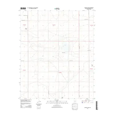
2013 Map of Lewiston Lake
USGS Topo · Published 2013About this map
Lewiston Lake sits at the heart of this high-plains landscape in Roosevelt County, surrounded by the distinctive topography of Rabbit Hollow. The area is defined by a grid of rural routes and the presence of significant drainage features like Boone Draw, which cuts across the southern and eastern sections of the quadrangle. This 2013 survey illustrates the modern agricultural and ranching infrastructure of eastern New Mexico, where long, straight corridors such as NM-330 and S Roosevelt Road 10 provide the primary access to the scattered land sections. The township and range lines, including t2s r31e and t3s r31e, anchor the survey, showing a landscape meticulously partitioned for land management. For those studying the geography of the Llano Estacado, this map provides precise detail on the subtle relief and water management features essential to life in this arid region.
Find a feature on this map
17 named features on this map. Tap any name to fly to it.
Don’t see what you’re looking for? This feature index may not catch every label — zoom into the map to look around manually.
Map Details
Editions of this 2013 Lewiston Lake Map
This is the sole edition of this map. No revisions or reprints were ever made.
Other maps of this area

1954 · Clovis
USGS Topo · 1:250,000

1954 · Brownfield
USGS Topo · 1:250,000

1958 · Brownfield
USGS Topo · 1:250,000

1958 · Clovis
USGS Topo · 1:250,000

1962 · Brownfield
USGS Topo · 1:250,000

1973 · Floyd
USGS Topo · 1:24,000

1973 · Lewiston Lake
USGS Topo · 1:24,000

1973 · Gammil Well SE
USGS Topo · 1:24,000

1973 · Gammil Well NE
USGS Topo · 1:24,000

1973 · Upton
USGS Topo · 1:24,000