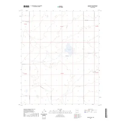
2023 Map of Lewiston Lake
USGS Topo · Published 2023About this map
Lewiston Lake sits at the center of this Roosevelt County landscape, a seasonal water feature in an otherwise arid expanse of eastern New Mexico. The terrain is defined by subtle depressions and drainage patterns, most notably Rabbit Hollow and the meandering path of Boone Draw in the southeast corner. These features represent the natural hydrology of the High Plains, where water catchment areas like these were historically vital for cattle ranching and early settlement.
Find a feature on this map
17 named features on this map. Tap any name to fly to it.
Don’t see what you’re looking for? This feature index may not catch every label — zoom into the map to look around manually.
Map Details
Editions of this 2023 Lewiston Lake Map
This is the sole edition of this map. No revisions or reprints were ever made.
Other maps of this area

1954 · Clovis
USGS Topo · 1:250,000

1954 · Brownfield
USGS Topo · 1:250,000

1958 · Brownfield
USGS Topo · 1:250,000

1958 · Clovis
USGS Topo · 1:250,000

1962 · Brownfield
USGS Topo · 1:250,000

1973 · Floyd
USGS Topo · 1:24,000

1973 · Lewiston Lake
USGS Topo · 1:24,000

1973 · Gammil Well SE
USGS Topo · 1:24,000

1973 · Gammil Well NE
USGS Topo · 1:24,000

1973 · Upton
USGS Topo · 1:24,000