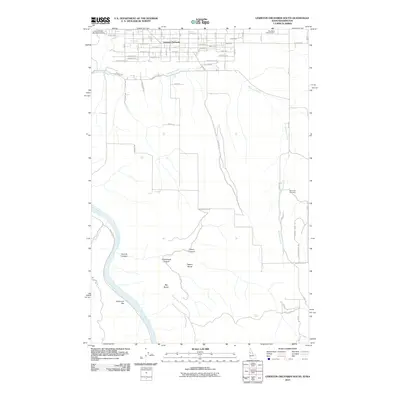
2011 Map of Lewiston Orchards South
USGS Topo · Published 2011About this map
Lewiston Orchards defines the northern plateau of this Idaho landscape, where a dense residential grid meets the dramatic descent toward the Snake River. The settlement pattern here is dictated by the terrain, with roads like Thiessen Rd and Waha Rd following the natural contours of the land above the river. Notable local landmarks for genealogical research include the Nez Perce County Farm and Tammany Cemetery, which offer points of connection to the area's early community history.
Find a feature on this map
42 named features on this map. Tap any name to fly to it.
Don’t see what you’re looking for? This feature index may not catch every label — zoom into the map to look around manually.
Map Details
Editions of this 2011 Lewiston Orchards South Map
This is the sole edition of this map. No revisions or reprints were ever made.
Other maps of this area

1944 · Anatone
USGS Topo · 1:62,500

1945 · Clarkston
USGS Topo · 1:62,500

1946 · Limekiln Rapids
USGS Topo · 1:62,500

1946 · Anatone
USGS Topo · 1:62,500

1948 · Clarkston
USGS Topo · 1:62,500

1955 · Pullman
USGS Topo · 1:250,000

1958 · Pullman
USGS Topo · 1:250,000

1958 · Lapwai
USGS Topo · 1:24,000

1958 · Sweetwater
USGS Topo · 1:24,000

1958 · Lewiston Orchards North
USGS Topo · 1:24,000