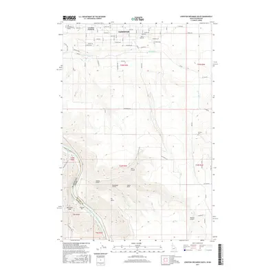
2017 Map of Lewiston Orchards South
USGS Topo · Published 2017About this map
Lewiston Orchards serves as a transitional landscape between the southern edge of Lewiston and the dramatic topography of the Snake River canyon. The northern portion of the map is defined by an orderly grid of residential and agricultural plots, featuring local landmarks like the Lewis and Clark Memorial Gardens. This developed area sits atop Tammany Ridge, which overlooks the descent into a series of deeply carved drainages including Short Canyon and Tenmile Canyon.
Find a feature on this map
51 named features on this map. Tap any name to fly to it.
Don’t see what you’re looking for? This feature index may not catch every label — zoom into the map to look around manually.
Map Details
Editions of this 2017 Lewiston Orchards South Map
This is the sole edition of this map. No revisions or reprints were ever made.
Other maps of this area

1944 · Anatone
USGS Topo · 1:62,500

1945 · Clarkston
USGS Topo · 1:62,500

1946 · Limekiln Rapids
USGS Topo · 1:62,500

1946 · Anatone
USGS Topo · 1:62,500

1948 · Clarkston
USGS Topo · 1:62,500

1955 · Pullman
USGS Topo · 1:250,000

1958 · Pullman
USGS Topo · 1:250,000

1958 · Lapwai
USGS Topo · 1:24,000

1958 · Sweetwater
USGS Topo · 1:24,000

1958 · Lewiston Orchards North
USGS Topo · 1:24,000