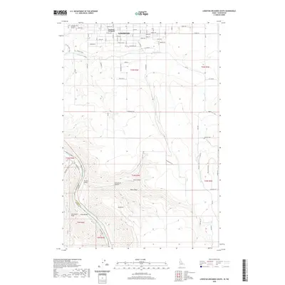
2020 Map of Lewiston Orchards South
USGS Topo · Published 2020About this map
Lewiston and the suburban layout of Lewiston Orchards occupy the northern plateau of this Idaho-Washington borderlands survey. The landscape drops sharply from the residential grids of Grelle Avenue and Powers Avenue into a series of dramatic drainages carved into the basalt. Tammany Creek winds below Tammany Ridge, while further south, the terrain becomes deeply dissected by Tenmile Canyon, Short Canyon, and Homestead Canyon. This rugged topography defines the transition from the city's orchard-district roots to the expansive grazing lands of Big Bench. Along the southwestern edge, the Snake River marks the state boundary, featuring Ackerman Bar and the steep slopes of Weissenfels Ridge. The map documents the persistent agricultural character of the region, anchored by landmarks like the Tammany Cemetery and the Lewis and Clark Memorial Gardens.
Find a feature on this map
108 named features on this map. Tap any name to fly to it.
Don’t see what you’re looking for? This feature index may not catch every label — zoom into the map to look around manually.
Map Details
Editions of this 2020 Lewiston Orchards South Map
This is the sole edition of this map. No revisions or reprints were ever made.
Other maps of this area

1944 · Anatone
USGS Topo · 1:62,500

1945 · Clarkston
USGS Topo · 1:62,500

1946 · Limekiln Rapids
USGS Topo · 1:62,500

1946 · Anatone
USGS Topo · 1:62,500

1948 · Clarkston
USGS Topo · 1:62,500

1955 · Pullman
USGS Topo · 1:250,000

1958 · Pullman
USGS Topo · 1:250,000

1958 · Lapwai
USGS Topo · 1:24,000

1958 · Sweetwater
USGS Topo · 1:24,000

1958 · Lewiston Orchards North
USGS Topo · 1:24,000