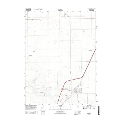
2015 Map of Lexington
USGS Topo · Published 2015About this map
The Mackinaw River winds through the southern portion of this central Illinois landscape, carving a natural path across the prairie south of Lexington. This area of McLean County shows a well-established network of agricultural grid roads centered on the city and nearby Timber Ridge, where historic transit routes like Old Route 66 parallel the modern interstate. For genealogists and local historians, the map is remarkably dense with burial sites, identifying Lexington Cem, Scrogin Cem, Hibbs-Bigger Cem, Clarksville Cem, and Dawson Cem. Smaller communities such as Clarksville, Meadows, and the southern edge of Gridley anchor the corners of the survey, while Thacker Airport and local watercourses like Turkey Cr and Buck Cr define the rural stretches between these settlements.
Find a feature on this map
55 named features on this map. Tap any name to fly to it.
Don’t see what you’re looking for? This feature index may not catch every label — zoom into the map to look around manually.
Map Details
Editions of this 2015 Lexington Map
This is the sole edition of this map. No revisions or reprints were ever made.
Other maps of this area

1926 · Normal
USGS Topo · 1:62,500

1930 · Normal
USGS Topo · 1:62,500

1935 · Pontiac
USGS Topo · 1:62,500

1939 · Pontiac
USGS Topo · 1:62,500

1957 · Colfax
USGS Topo · 1:62,500

1958 · Flanagan
USGS Topo · 1:62,500

1958 · Peoria
USGS Topo · 1:250,000

1961 · Peoria
USGS Topo · 1:250,000

1963 · Peoria
USGS Topo · 1:250,000

1981 · Lexington
USGS Topo · 1:24,000