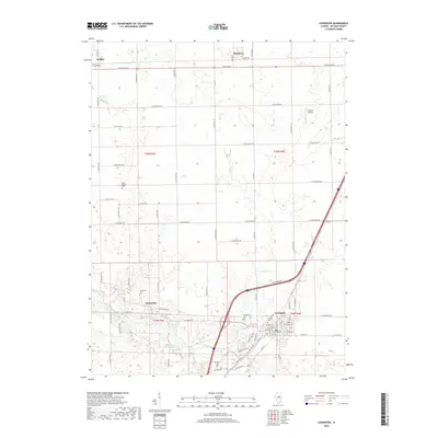
2018 Map of Lexington
USGS Topo · Published 2018About this map
The Lexington street grid and its surrounding agricultural landscape define this portion of McLean County, where the Interstate 55 corridor cuts a modern path through traditional farming townships. The map documents several small population centers including Gridley, Meadows, and the community of Clarksville near the Mackinaw River. This river, along with Turkey Cr and Buck Cr, provides the primary drainage for the area's black-soil prairies. Local family history is preserved in several small burial grounds such as Hibbs-Bigger Cem, Scrogin Cem, and Dawson Cem. The rectangular survey system is clearly visible through the dense network of county roads like Clarksville Rd and PJ Keller Hwy, which partition the land into productive sections. Aviation interest is represented by Thacker Airport, a small landing strip situated among the fields north of Lexington.
Find a feature on this map
75 named features on this map. Tap any name to fly to it.
Don’t see what you’re looking for? This feature index may not catch every label — zoom into the map to look around manually.
Map Details
Editions of this 2018 Lexington Map
This is the sole edition of this map. No revisions or reprints were ever made.
Other maps of this area

1926 · Normal
USGS Topo · 1:62,500

1930 · Normal
USGS Topo · 1:62,500

1935 · Pontiac
USGS Topo · 1:62,500

1939 · Pontiac
USGS Topo · 1:62,500

1957 · Colfax
USGS Topo · 1:62,500

1958 · Flanagan
USGS Topo · 1:62,500

1958 · Peoria
USGS Topo · 1:250,000

1961 · Peoria
USGS Topo · 1:250,000

1963 · Peoria
USGS Topo · 1:250,000

1981 · Lexington
USGS Topo · 1:24,000