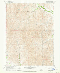
1962 Map of Lexington NW
USGS Topo · Published 1964About this map
Kennebec, Hillside, and Lincoln townships characterize this section of the Nebraska plains in the early 1960s, a landscape defined by its agricultural layout and water management. The southern edge of the sheet is marked by the Dawson Co Canal, a vital piece of irrigation infrastructure that supports the region's farming economy. The topography is intricately detailed, showing the drainage patterns of Crooked Creek and Dry Fork as they carve through the sectioned land. A lone Gravel Pit indicates local small-scale industry, while the fine red dashed lines throughout denote fence and field lines, offering researchers a granular view of property divisions and land use during this era. This survey provides a clear look at the rural organization of Dawson County before significant modern consolidation altered the footprint of many family farms.
Find a feature on this map
7 named features on this map. Tap any name to fly to it.
Don’t see what you’re looking for? This feature index may not catch every label — zoom into the map to look around manually.
Map Details
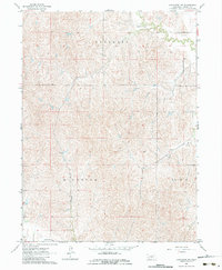
Editions of this 1962 Lexington NW Map
2 editions found
Other maps of this area

1896 · Lexington
USGS Topo · 1:125,000

1899 · Lexington
USGS Topo · 1:125,000

1951 · Oconto SE
USGS Topo · 1:24,000

1951 · Eddyville
USGS Topo · 1:24,000

1951 · Eddyville SW
USGS Topo · 1:24,000

1955 · Broken Bow
USGS Topo · 1:250,000

1955 · Grand Island
USGS Topo · 1:250,000

1956 · Broken Bow
USGS Topo · 1:250,000

1957 · Grand Island
USGS Topo · 1:250,000

1958 · Grand Island
USGS Topo · 1:250,000