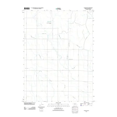
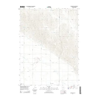
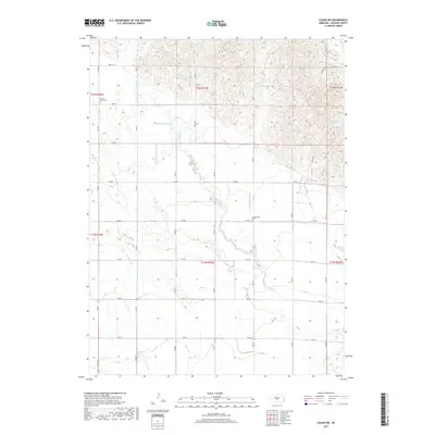
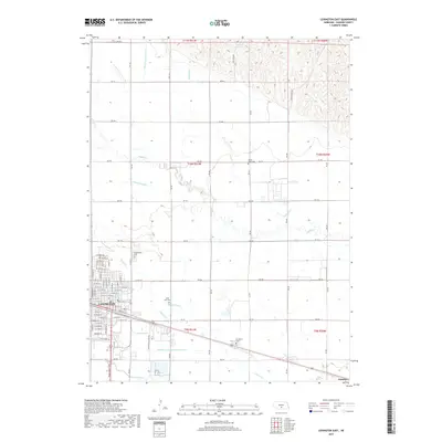
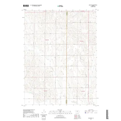
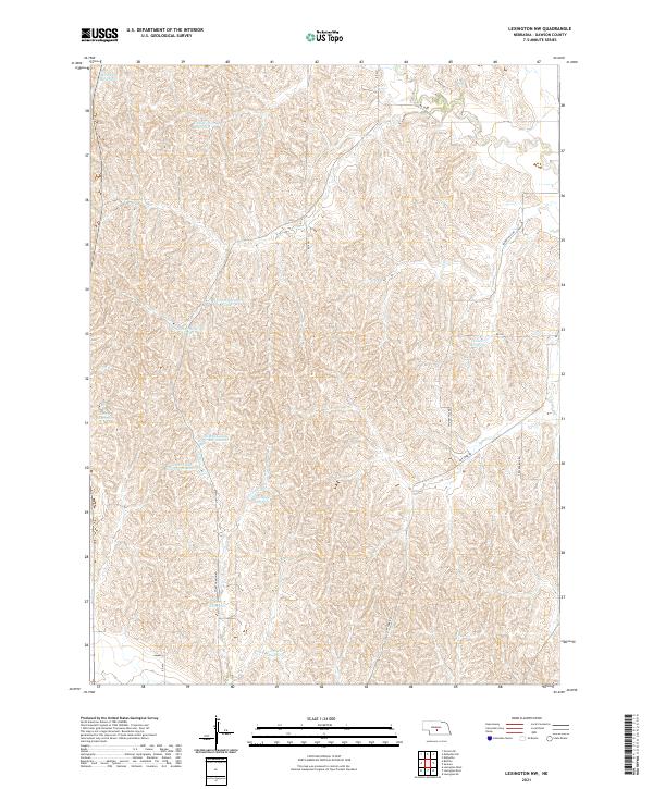
1962 Map of Lexington NW
USGS Topo · Published 1983About this map
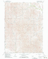
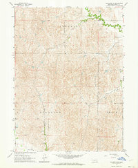
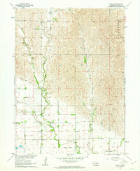
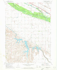
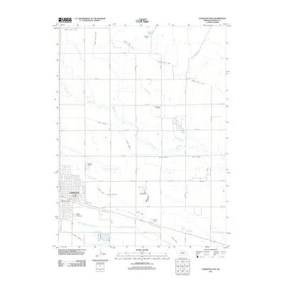
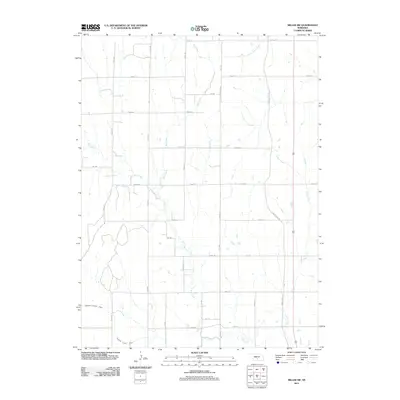
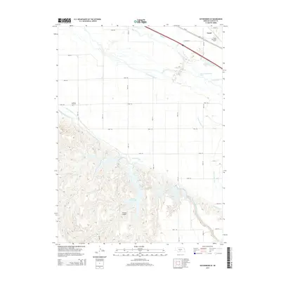
Dawson Co Canal cuts through the southern edge of this landscape, representing the vital irrigation infrastructure of central Nebraska during the early 1960s. The terrain is defined by the prominent ridges of Kennebec, Hillside, and Lincoln, which dictate the drainage patterns of Crooked Creek and Dry Fork. This 1962 field-checked survey highlights a predominantly rural area where the distribution of section lines and fence lines reflects a land organized for large-scale agriculture and grazing. A lone Gravel Pit indicates localized resource extraction amidst the complex topography of the Dawson County hills. The map provides a precise record of the physical geography before modern land-use changes, documenting the exact placement of rural tracks and unimproved roads that served these upland townships.
Find a feature on this map
9 named features on this map. Tap any name to fly to it.
Don’t see what you’re looking for? This feature index may not catch every label — zoom into the map to look around manually.
Map Details
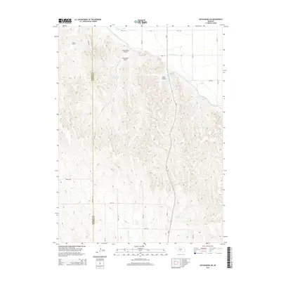
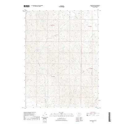
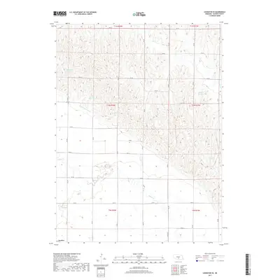
Editions of this 1962 Lexington NW Map
2 editions found
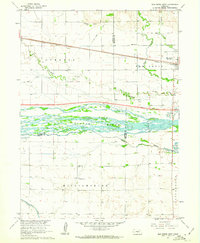
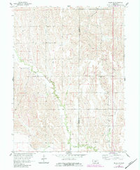
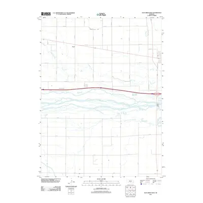
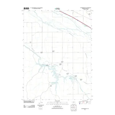
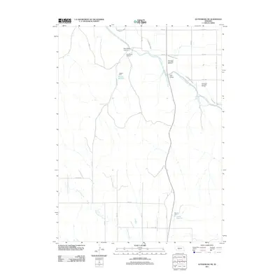
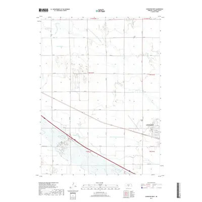
Historical Maps of Dawson County Through Time
50 maps found
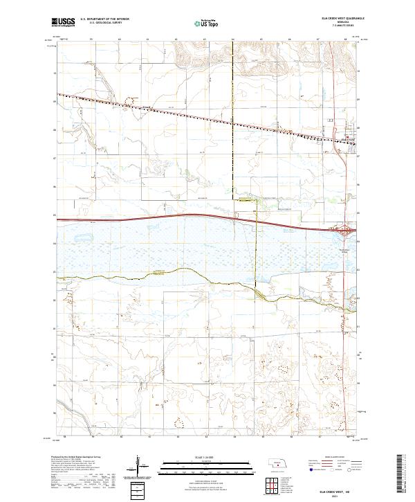
1961 Elm Creek West
Dawson County, NE
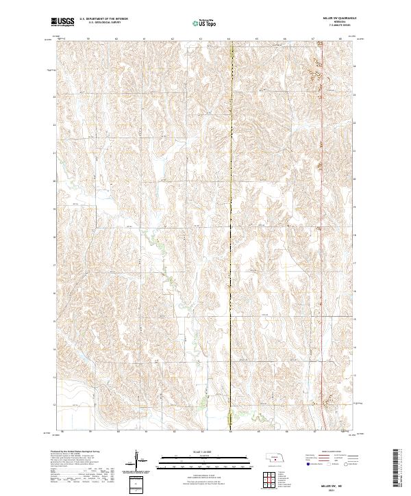
1961 Miller SW
Dawson County, NE
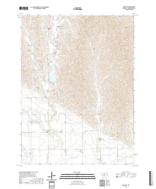
1962 Buffalo
Dawson County, NE
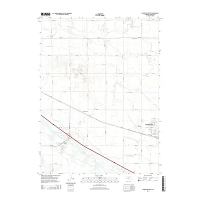
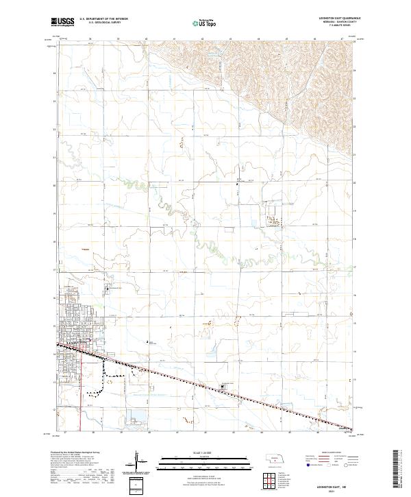
1962 Lexington East
Dawson County, NE
1962 Lexington NW
Dawson County, NE
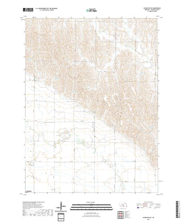
1962 Lexington SE
Dawson County, NE
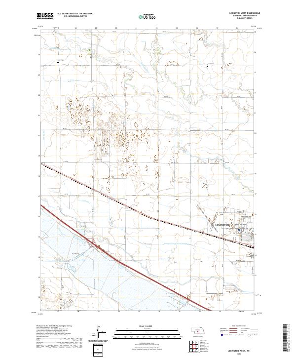
1962 Lexington West
Dawson County, NE
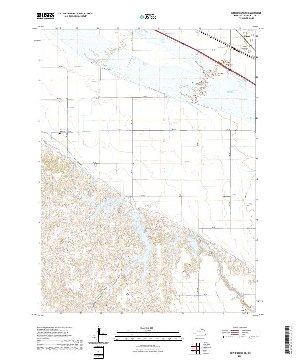
1970 Gothenburg SE
Dawson County, NE
1970 Gothenburg SW
Dawson County, NE
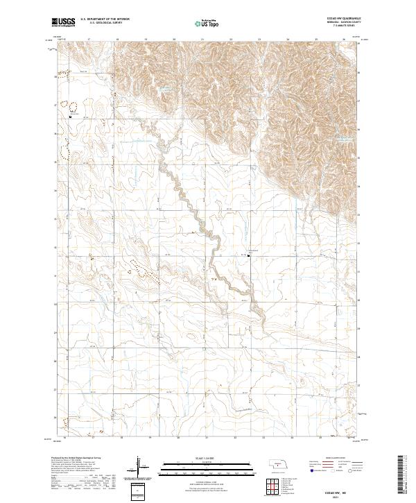
1971 Cozad NW
Dawson County, NE
2011 Buffalo
Dawson County, NE
2011 Cozad NW
Dawson County, NE
2011 Elm Creek West
Dawson County, NE
2011 Gothenburg SE
Dawson County, NE
2011 Gothenburg SW
Dawson County, NE
2011 Lexington East
Dawson County, NE
2011 Lexington NW
Dawson County, NE
2011 Lexington SE
Dawson County, NE
2011 Lexington West
Dawson County, NE
2011 Miller SW
Dawson County, NE
2014 Buffalo
Dawson County, NE
2014 Cozad NW
Dawson County, NE
2014 Elm Creek West
Dawson County, NE
2014 Gothenburg SE
Dawson County, NE
2014 Gothenburg SW
Dawson County, NE
2014 Lexington East
Dawson County, NE
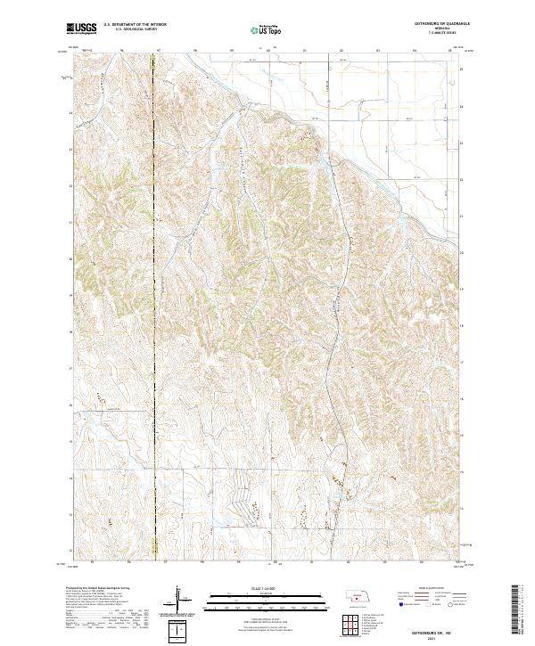
2014 Lexington NW
Dawson County, NE
2014 Lexington SE
Dawson County, NE
2014 Lexington West
Dawson County, NE
2014 Miller SW
Dawson County, NE
2017 Buffalo
Dawson County, NE
2017 Cozad NW
Dawson County, NE
2017 Elm Creek West
Dawson County, NE
2017 Gothenburg SE
Dawson County, NE
2017 Gothenburg SW
Dawson County, NE
2017 Lexington East
Dawson County, NE
2017 Lexington NW
Dawson County, NE
2017 Lexington SE
Dawson County, NE
2017 Lexington West
Dawson County, NE
2017 Miller SW
Dawson County, NE
2021 Buffalo
Dawson County, NE
2021 Cozad NW
Dawson County, NE
2021 Elm Creek West
Dawson County, NE
2021 Gothenburg SE
Dawson County, NE
2021 Gothenburg SW
Dawson County, NE
2021 Lexington East
Dawson County, NE
2021 Lexington NW
Dawson County, NE
2021 Lexington SE
Dawson County, NE
2021 Lexington West
Dawson County, NE
2021 Miller SW
Dawson County, NE