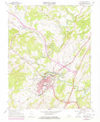
1967 Map of Lexington
USGS Topo · Published 1978About this map
Lexington serves as the academic and civic hub of Rockbridge County, defined by the prominent campuses of Washington & Lee University and the Virginia Military Institute. The town's layout is meticulously detailed, showing the Courthouse, City Hall, and the Stonewall Jackson Hospital amid a network of neighborhood streets. To the west and north, the landscape transitions into the ridges of Brushy Hill and Turkey Hill, where rural life is anchored by several historic congregations including Bethany Ch, New Monmouth Ch, and Ebenezer Ch.
Find a feature on this map
59 named features on this map. Tap any name to fly to it.
Don’t see what you’re looking for? This feature index may not catch every label — zoom into the map to look around manually.
Map Details
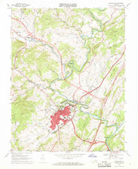
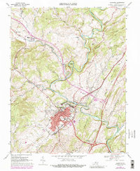
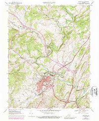
Editions of this 1967 Lexington Map
4 editions found
Other maps of this area

1894 · Natural Bridge
USGS Topo · 1:125,000

1894 · Lexington
USGS Topo · 1:125,000

1894 · Natural Bridge
USGS Topo · 1:62,500

1907 · Natural Bridge Special
USGS Topo · 1:62,500

1932 · Lexington
USGS Topo · 1:48,000

1935 · Buena Vista
USGS Topo · 1:48,000

1937 · Lexington
USGS Topo · 1:62,500

1939 · Buena Vista
USGS Topo · 1:62,500

1940 · Buena Vista
USGS Topo · 1:62,500

1946 · Millboro
USGS Topo · 1:62,500