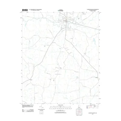
2012 Map of Lexington South
USGS Topo · Published 2012About this map
Lexington serves as the focal point of this Holmes County survey, situated at a junction of roads and waterways where Black Cr and Moccasin Cr converge near the town center. The landscape south of the city is defined by a dense network of tributaries including Williams Cr and Butterworth Cr, which drain through the agricultural terrain. The map records a significant distribution of rural cemeteries such as Odd Fellows Cem and Hickory Springs Cem, often serving as the primary markers for community identity in the outlying areas. Small clusters of development at Brozville and Franklin illustrate the persistent settlement patterns of the region. The presence of the C. A. Moore Airport north of the city indicates the integration of modern transportation infrastructure within this traditional Mississippi landscape, while roads like Old Wire Rd hint at earlier communication corridors that once threaded through the county.
Find a feature on this map
84 named features on this map. Tap any name to fly to it.
Don’t see what you’re looking for? This feature index may not catch every label — zoom into the map to look around manually.
Map Details
Editions of this 2012 Lexington South Map
This is the sole edition of this map. No revisions or reprints were ever made.
Other maps of this area

1940 · Lexington
USGS Topo · 1:62,500

1953 · Meridian
USGS Topo · 1:250,000

1953 · Greenwood
USGS Topo · 1:250,000

1953 · West Point
USGS Topo · 1:250,000

1955 · Jackson
USGS Topo · 1:250,000

1956 · Greenwood
USGS Topo · 1:250,000

1957 · Meridian
USGS Topo · 1:250,000

1957 · Lexington
USGS Topo · 1:62,500

1958 · West Point
USGS Topo · 1:250,000

1958 · Lexington
USGS Topo · 1:62,500