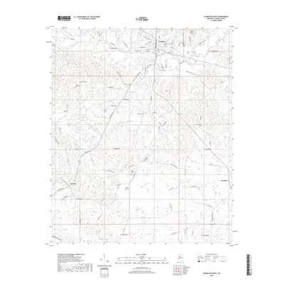
2018 Map of Lexington South
USGS Topo · Published 2018About this map
Lexington serves as the focal point of this region, which is characterized by a landscape deeply marked by its rural settlements and spiritual heritage. The town's grid extends southward toward the C A Moore Airport, while the surrounding terrain is dotted with numerous small family and community burial grounds, such as Liberty Grove Cem, Stigler Cem, and Hickory Springs Cem. These sites, along with others like Oak Grove Cem and Springhill Cem, suggest a history of long-standing community ties and family homesteads across Holmes County. Outside the main settlement of Lexington, the crossroads at Brozville and the community of Franklin anchor the southern and eastern portions of the map. The physical geography is defined by a dense network of watercourses including Black Creek, Williams Cr, and Gourdvine Cr, which wind through the township divisions of t14n r2e and t14n r3e.
Find a feature on this map
92 named features on this map. Tap any name to fly to it.
Don’t see what you’re looking for? This feature index may not catch every label — zoom into the map to look around manually.
Map Details
Editions of this 2018 Lexington South Map
This is the sole edition of this map. No revisions or reprints were ever made.
Other maps of this area

1940 · Lexington
USGS Topo · 1:62,500

1953 · Meridian
USGS Topo · 1:250,000

1953 · Greenwood
USGS Topo · 1:250,000

1953 · West Point
USGS Topo · 1:250,000

1955 · Jackson
USGS Topo · 1:250,000

1956 · Greenwood
USGS Topo · 1:250,000

1957 · Meridian
USGS Topo · 1:250,000

1957 · Lexington
USGS Topo · 1:62,500

1958 · West Point
USGS Topo · 1:250,000

1958 · Lexington
USGS Topo · 1:62,500