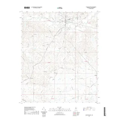
2020 Map of Lexington South
USGS Topo · Published 2020About this map
Lexington serves as the focal point of this Holmes County study, where the Holmes County Courthouse stands at the center of a grid defined by Yazoo St, Martin Luther King Dr, and Church St. To the south and west, the landscape transitions into the drainage basins of Moccasin Cr and Butterworth Cr, punctuated by small rural communities such as Brozville and Franklin. This area is particularly rich in family and community history, evidenced by a high density of small cemeteries including Liberty Hill Cem, West Grove Cem, and Odd Fellows Cem. The topography is shaped by the complex creek systems feeding into Cypress Cr, while aviation history is represented by the C A Moore Airport north of the city. Transportation patterns follow a network of county routes like Brozville Rd and Liberty Chapel Rd, connecting isolated farmsteads across the undulating terrain.
Find a feature on this map
92 named features on this map. Tap any name to fly to it.
Don’t see what you’re looking for? This feature index may not catch every label — zoom into the map to look around manually.
Map Details
Editions of this 2020 Lexington South Map
This is the sole edition of this map. No revisions or reprints were ever made.
Other maps of this area

1940 · Lexington
USGS Topo · 1:62,500

1953 · Meridian
USGS Topo · 1:250,000

1953 · Greenwood
USGS Topo · 1:250,000

1953 · West Point
USGS Topo · 1:250,000

1955 · Jackson
USGS Topo · 1:250,000

1956 · Greenwood
USGS Topo · 1:250,000

1957 · Meridian
USGS Topo · 1:250,000

1957 · Lexington
USGS Topo · 1:62,500

1958 · West Point
USGS Topo · 1:250,000

1958 · Lexington
USGS Topo · 1:62,500