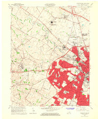
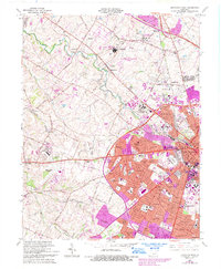
1965 Map of Lexington West
USGS Topo · Published 1967About this map
The western outskirts of Lexington are captured here in a period of significant mid-century suburban expansion, showing a landscape transitioning from thoroughbred horse country to residential neighborhoods. Established enclaves like Meadowthorpe and Sandersville are joined by newer developments such as Cardinal Valley, Gardenside, and Lansdowne, while the established core of the University of Kentucky and the sprawling Lexington Cemetery anchor the urban edge. To the northwest, specialized institutions like the United States Public Health Service Hospital and the Kentucky Village reflect the era's civic and healthcare infrastructure.
Find a feature on this map
89 named features on this map. Tap any name to fly to it.
Don’t see what you’re looking for? This feature index may not catch every label — zoom into the map to look around manually.
Map Details
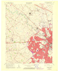
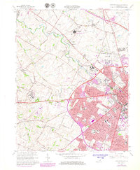
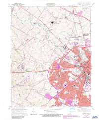
Editions of this 1965 Lexington West Map
5 editions found
Other maps of this area

1892 · Richmond
USGS Topo · 1:125,000

1897 · Richmond
USGS Topo · 1:125,000

1905 · Harrodsburg
USGS Topo · 1:125,000

1906 · Georgetown
USGS Topo · 1:62,500

1908 · Georgetown
USGS Topo · 1:62,500

1927 · Lexington
USGS Topo · 1:48,000

1929 · Lexington
USGS Topo · 1:62,500

1950 · Lexington East
USGS Topo · 1:24,000

1950 · Lexington West
USGS Topo · 1:24,000

1952 · Keene
USGS Topo · 1:24,000
Featured Places
- Lexington, KY
- Highlands, Lexington
- Elk Chester, Lexington
- Holiday Hills, Lexington
- Garden Springs, Lexington