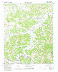
1962 Map of Liberty
USGS Topo · Published 1980About this map
The Smith Fork winds through a landscape defined by deep hollows and high ridges along the border of Smith and DeKalb Counties. Small agricultural communities such as Temperance Hall and Dowelltown are connected by a network of rural roads that follow the valley floors of Dry Creek and Helton Creek. The 1962 topography shows the early stages of recreational development at Center Hill Lake along the eastern edge, where the Edgar Evans State Rustic Park meets the water. Genealogists will find a wealth of local landmarks, including family-named cemeteries like Gualtney Cem and Nixon Cem, alongside rural centers of worship like Malone Chapel and Pisgah Ch. The map also captures the layout of Liberty near the junction of Clear Fork, providing a detailed look at the homes, schools, and churches that formed the backbone of these Tennessee valley settlements during the mid-20th century.
Find a feature on this map
74 named features on this map. Tap any name to fly to it.
Don’t see what you’re looking for? This feature index may not catch every label — zoom into the map to look around manually.
Map Details
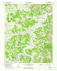
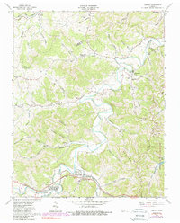
Editions of this 1962 Liberty Map
3 editions found
Other maps of this area

1893 · Mc Minnville
USGS Topo · 1:125,000

1895 · Mc Minnville
USGS Topo · 1:125,000

1908 · Woodbury
USGS Topo · 1:62,500

1928 · Gordonsville
USGS Topo · 1:62,500

1942 · Statesville
USGS Topo · 1:100,000

1953 · Chattanooga
USGS Topo · 1:250,000

1956 · Columbia
USGS Topo · 1:250,000

1956 · Corbin
USGS Topo · 1:250,000

1956 · Nashville
USGS Topo · 1:250,000

1957 · Chattanooga
USGS Topo · 1:250,000