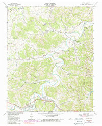
1962 Map of Liberty
USGS Topo · Published 1988About this map
Smith Fork snakes through the borderlands of Smith and DeKalb counties, anchoring a network of hollows and ridges that defined nineteenth and twentieth-century rural life. The settlement of Liberty and nearby Dowelltown occupy the lower portion of the sheet, where Dry Creek and Clear Fk Cr converge. This survey preserves the placement of numerous community landmarks, from Temperance Hall Sch to a collection of country churches including Salem Ch, Pisgah Ch, and Puller Chapel.
Find a feature on this map
72 named features on this map. Tap any name to fly to it.
Don’t see what you’re looking for? This feature index may not catch every label — zoom into the map to look around manually.
Map Details
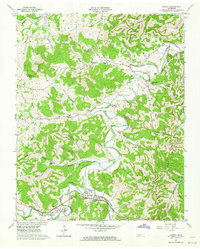
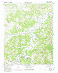
Editions of this 1962 Liberty Map
3 editions found
Other maps of this area

1893 · Mc Minnville
USGS Topo · 1:125,000

1895 · Mc Minnville
USGS Topo · 1:125,000

1908 · Woodbury
USGS Topo · 1:62,500

1928 · Gordonsville
USGS Topo · 1:62,500

1942 · Statesville
USGS Topo · 1:100,000

1953 · Chattanooga
USGS Topo · 1:250,000

1956 · Columbia
USGS Topo · 1:250,000

1956 · Corbin
USGS Topo · 1:250,000

1956 · Nashville
USGS Topo · 1:250,000

1957 · Chattanooga
USGS Topo · 1:250,000