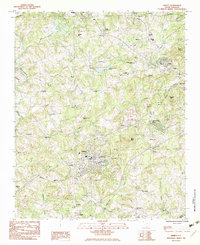
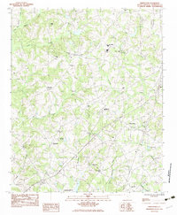
1983 Map of Liberty
USGS Topo · Published 1983About this map
The Southern railroad corridor anchors the landscape of this 1980s South Carolina survey, connecting the industrial and residential centers of Liberty and Norris. This era shows a transition from traditional rural patterns to modern infrastructure, evidenced by the development of the Pickens County Airport and the Pickens Vocational Sch. While larger settlements like Pickens and Easley border the quadrangle, the interior is defined by a dense network of country churches and family burial grounds, such as Ruhama Cem and Bethlehem Ch, which serve as vital markers for local genealogical research.
Find a feature on this map
64 named features on this map. Tap any name to fly to it.
Don’t see what you’re looking for? This feature index may not catch every label — zoom into the map to look around manually.
Map Details
Editions of this 1983 Liberty Map
2 editions found
Other maps of this area

1888 · Pickens
USGS Topo · 1:125,000

1894 · Pickens
USGS Topo · 1:125,000

1951 · Clemson
USGS Topo · 1:24,000

1954 · Greenville
USGS Topo · 1:250,000

1957 · Anderson
USGS Topo · 1:62,500

1957 · Easley
USGS Topo · 1:62,500

1958 · Greenville
USGS Topo · 1:250,000
1961 · Sunset
USGS Topo · 1:24,000
1961 · Six Mile
USGS Topo · 1:24,000
1983 · Piercetown
USGS Topo · 1:24,000