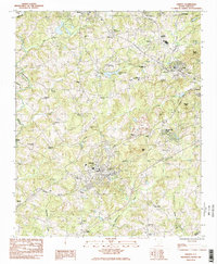
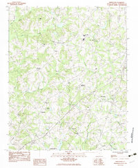
1983 Map of Liberty
USGS Topo · Published 1983About this map
Liberty and Pickens anchor this study of the South Carolina foothills during the late 1970s and early 1980s. The landscape is defined by the headwaters of the Piedmont, where Twelvemile Creek and Eighteenmile Creek carve through a region transitioning from its traditional agricultural roots to a modern industrial and residential mix. The Southern railway and the specialized Pickens RR provide the structural backbone for local commerce, connecting textile centers like Arial and Easley to the wider region.
Find a feature on this map
61 named features on this map. Tap any name to fly to it.
Don’t see what you’re looking for? This feature index may not catch every label — zoom into the map to look around manually.
Map Details
Editions of this 1983 Liberty Map
2 editions found
Other maps of this area

1888 · Pickens
USGS Topo · 1:125,000

1894 · Pickens
USGS Topo · 1:125,000

1951 · Clemson
USGS Topo · 1:24,000

1954 · Greenville
USGS Topo · 1:250,000

1957 · Anderson
USGS Topo · 1:62,500

1957 · Easley
USGS Topo · 1:62,500

1958 · Greenville
USGS Topo · 1:250,000
1961 · Sunset
USGS Topo · 1:24,000
1961 · Six Mile
USGS Topo · 1:24,000
1983 · Piercetown
USGS Topo · 1:24,000