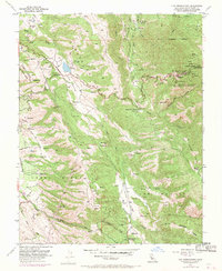
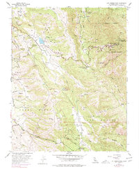
1955 Map of Lick Observatory
USGS Topo · Published 1970About this map
Lick Observatory (University of California) crowns the summit of Mt Hamilton in this detailed mid-century survey of the Diablo Range. The map illustrates the complex network of telescopes and support structures atop Copernicus Peak, including various water tanks and reservoirs essential for the remote facility's operations. The landscape drops sharply into the surrounding canyons and valleys, showing the winding ascent of Mt Hamilton Road as it snakes through Cañada de Pala and past the Smith Creek Ranger Sta.
Find a feature on this map
37 named features on this map. Tap any name to fly to it.
Don’t see what you’re looking for? This feature index may not catch every label — zoom into the map to look around manually.
Map Details
Editions of this 1955 Lick Observatory Map
5 editions found
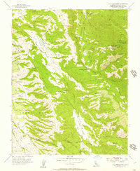
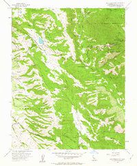
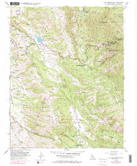
Other maps of this area

1889 · San Jose
USGS Topo · 1:62,500

1897 · San Jose
USGS Topo · 1:62,500

1897 · Mt. Hamilton
USGS Topo · 1:62,500

1899 · San Jose
USGS Topo · 1:62,500

1916 · New Almaden
USGS Topo · 1:48,000

1917 · Morgan Hill
USGS Topo · 1:62,500

1919 · New Almaden
USGS Topo · 1:62,500

1939 · Morgan Hill
USGS Topo · 1:62,500

1940 · Los Gatos
USGS Topo · 1:62,500

1941 · Morgan Hill
USGS Topo · 1:62,500