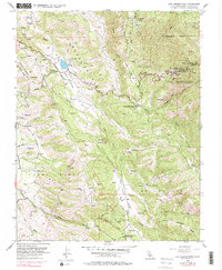
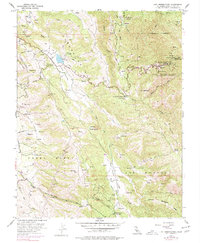
1955 Map of Lick Observatory
USGS Topo · Published 1977About this map
Lick Observatory (University of California) crowns the summit of Mt Hamilton, marking a significant scientific presence in the Diablo Range during the mid-1950s. The map details the complex terrain surrounding Copernicus Peak, where a Lookout Tower and various water tanks supported the remote scientific outpost. Below the peaks, the landscape is defined by deep valleys and historic land grant boundaries, including Pueblo Lands of San Jose and Los Huecos.
Find a feature on this map
31 named features on this map. Tap any name to fly to it.
Don’t see what you’re looking for? This feature index may not catch every label — zoom into the map to look around manually.
Map Details
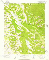
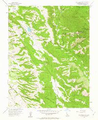
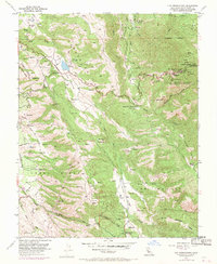
Editions of this 1955 Lick Observatory Map
5 editions found
Other maps of this area

1889 · San Jose
USGS Topo · 1:62,500

1897 · San Jose
USGS Topo · 1:62,500

1897 · Mt. Hamilton
USGS Topo · 1:62,500

1899 · San Jose
USGS Topo · 1:62,500

1916 · New Almaden
USGS Topo · 1:48,000

1917 · Morgan Hill
USGS Topo · 1:62,500

1919 · New Almaden
USGS Topo · 1:62,500

1939 · Morgan Hill
USGS Topo · 1:62,500

1940 · Los Gatos
USGS Topo · 1:62,500

1941 · Morgan Hill
USGS Topo · 1:62,500