Loading...
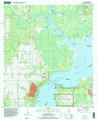
Loading map...1970 Map of Lillian
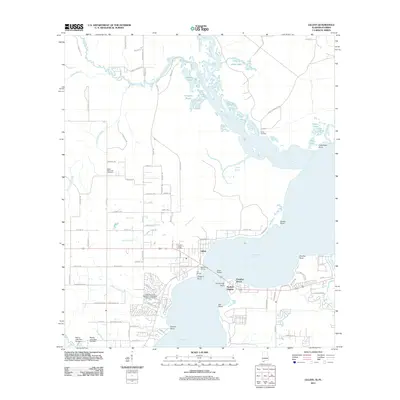
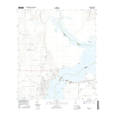
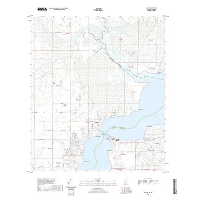
USGS Topo · Published 1988About this map
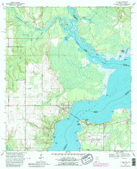
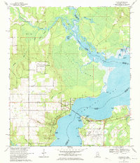
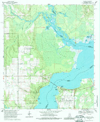
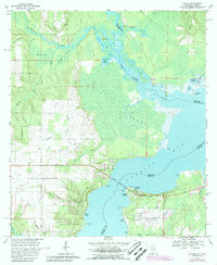
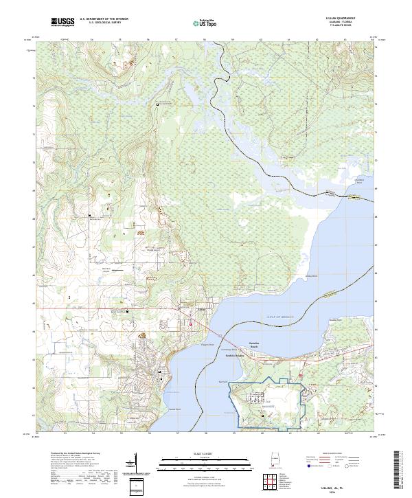
Lillian sits at a strategic crossing point where the Lillian Bridge spans the waters between Baldwin County, Alabama, and Escambia County, Florida. This coastal landscape is defined by the convergence of the Perdido River and Blackwater River as they flow into Perdido Bay. The geography is a complex network of waterways like Caney Bayou and Alligator Bayou, separated by the dense Lillian Swamp.
Find a feature on this map
46 named features on this map. Tap any name to fly to it.
Don’t see what you’re looking for? This feature index may not catch every label — zoom into the map to look around manually.
Map Details
Date Portrayed1970
Date Published1988
PublisherU.S. Geological Survey
Map TypeTopographic
Scale1:24,000
Physical Dimensions21.6 x 26.7 inches
Editions of this 1970 Lillian Map
4 editions found
Historical Maps of Lillian Through Time
7 maps found

Featured Locations
Source Details
SourceU.S. Geological Survey
CopyrightPublic Domain