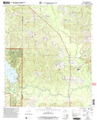
2003 Map of Lillie
USGS Topo · Published 2005About this map
Lillie and the surrounding piney woods of Union Parish are characterized by a dense network of tributaries flowing toward Corney Bayou. At the turn of the 21st century, the landscape is a mix of managed timberlands within the Kisatchie National Forest and local agriculture, with the western edge of the map dominated by the waters of Corney Lake. The area's rural infrastructure is punctuated by small settlements like Randolph and Rum Center, while numerous Gas Wells suggest the ongoing importance of the energy industry to the local economy.
Find a feature on this map
28 named features on this map. Tap any name to fly to it.
Don’t see what you’re looking for? This feature index may not catch every label — zoom into the map to look around manually.
Map Details
Editions of this 2003 Lillie Map
This is the sole edition of this map. No revisions or reprints were ever made.
Other maps of this area

1927 · El Dorado
USGS Topo · 1:62,500

1930 · El Dorado
USGS Topo · 1:62,500
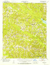
1951 · Summerfield
USGS Topo · 1:62,500
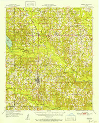
1951 · Bernice
USGS Topo · 1:62,500
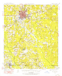
1951 · El Dorado
USGS Topo · 1:62,500

1953 · El Dorado
USGS Topo · 1:250,000

1955 · Shreveport
USGS Topo · 1:250,000

1956 · Shreveport
USGS Topo · 1:250,000

1957 · El Dorado
USGS Topo · 1:250,000

1958 · El Dorado
USGS Topo · 1:250,000