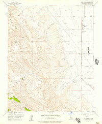
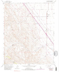
1956 Map of Lillis Ranch
USGS Topo · Published 1957About this map
The western edge of the San Joaquin Valley meets the high desert ridges of Ciervo Hills and Big Blue Hills in this mid-century topographic record. Agricultural development is concentrated on the eastern plains, where a series of named avenues like Elkhorn Ave and Mt Whitney Ave intersect with Derrick Ave, a primary north-south corridor. The map highlights the localized infrastructure required to support this arid landscape, including the Halfway Pumping Station, Oil Tanks, and a Landing Strip at the Giffen Cantua Ranch. Deep in the hills to the west, isolated water sources like Green Water Spring and Sulphur Spr provide vital landmarks amidst the drainage of Arroyo Hondo and Cantua Creek. This transition from organized valley grid-work to the steep, undeveloped terrain of Monocline Ridge reflects the sharp division of land use in Fresno County during the 1950s.
Find a feature on this map
28 named features on this map. Tap any name to fly to it.
Don’t see what you’re looking for? This feature index may not catch every label — zoom into the map to look around manually.
Map Details
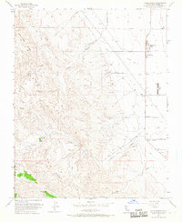
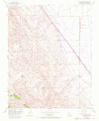
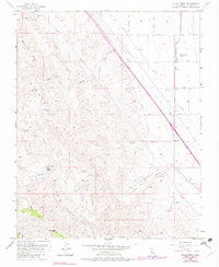
Editions of this 1956 Lillis Ranch Map
5 editions found
Other maps of this area

1912 · Coalinga
USGS Topo · 1:125,000

1913 · Panoche
USGS Topo · 1:125,000

1915 · Priest Valley
USGS Topo · 1:125,000

1923 · Levis
USGS Topo · 1:31,680

1923 · Englebrecht Ranch
USGS Topo · 1:31,680

1923 · Monocline Ridge
USGS Topo · 1:31,680

1931 · Mouth of Cantua Creek
USGS Topo · 1:31,680

1943 · New Idria
USGS Topo · 1:62,500

1943 · Joaquin Rocks
USGS Topo · 1:62,500

1946 · Tranquillity
USGS Topo · 1:62,500