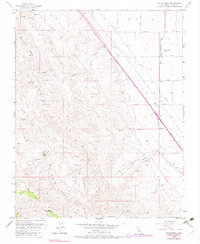
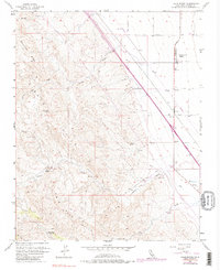
1956 Map of Lillis Ranch
USGS Topo · Published 1982About this map
Lillis Ranch and the nearby Giffen Cantua Ranch occupy the fertile transition where the San Joaquin Valley floor meets the rising elevations of the Ciervo Hills. This mid-century landscape is defined by its water management and infrastructure, featuring a complex network of pipelines, irrigation ditches, and numerous designated wells that supported the region's agricultural operations. The terrain is marked by seasonal drainages such as Arroyo Hondo, Arroyo Ciervo, and Cantua Creek, which cut through the uplifted Monocline Ridge and Big Blue Hills. Beyond the ranching homesteads, the map identifies natural landmarks like Green Water Spring and Sulphur Spr, along with industrial activity evidenced by a Gravel Pit and other excavation sites. The grid of service roads, including Derrick Ave and Mt Whitney Ave, highlights the organized development of this Fresno County interior.
Find a feature on this map
26 named features on this map. Tap any name to fly to it.
Don’t see what you’re looking for? This feature index may not catch every label — zoom into the map to look around manually.
Map Details
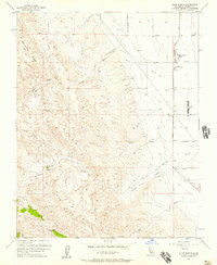
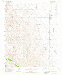
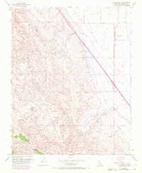
Editions of this 1956 Lillis Ranch Map
5 editions found
Other maps of this area

1912 · Coalinga
USGS Topo · 1:125,000

1913 · Panoche
USGS Topo · 1:125,000

1915 · Priest Valley
USGS Topo · 1:125,000

1923 · Levis
USGS Topo · 1:31,680

1923 · Englebrecht Ranch
USGS Topo · 1:31,680

1923 · Monocline Ridge
USGS Topo · 1:31,680

1931 · Mouth of Cantua Creek
USGS Topo · 1:31,680

1943 · New Idria
USGS Topo · 1:62,500

1943 · Joaquin Rocks
USGS Topo · 1:62,500

1946 · Tranquillity
USGS Topo · 1:62,500