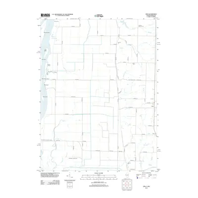
2012 Map of Lima
USGS Topo · Published 2012About this map
Lima sits as the central settlement in this portion of Adams County, Illinois, surrounded by an intricate network of rural roads and drainage channels leading toward the river. The western edge of the quadrangle is defined by the Mississippi River, where a series of large islands including Buzzard Island, Hunt Island, and Polly Island separate the main channel from the mainland. This riverine landscape is characterized by backwater features like Cutoff Slough and Lima Slough, indicating a low-lying floodplain managed for agricultural use.
Find a feature on this map
77 named features on this map. Tap any name to fly to it.
Don’t see what you’re looking for? This feature index may not catch every label — zoom into the map to look around manually.
Map Details
Editions of this 2012 Lima Map
This is the sole edition of this map. No revisions or reprints were ever made.
Other maps of this area

1903 · Kahoka
USGS Topo · 1:125,000

1936 · Keokuk
USGS Topo · 1:62,500

1946 · Mendon
USGS Topo · 1:62,500

1948 · Mendon
USGS Topo · 1:62,500

1949 · Kahoka SE
USGS Topo · 1:24,000

1950 · Kahoka SE
USGS Topo · 1:24,000

1950 · Keokuk
USGS Topo · 1:62,500

1950 · La Grange
USGS Topo · 1:24,000

1950 · Canton
USGS Topo · 1:24,000
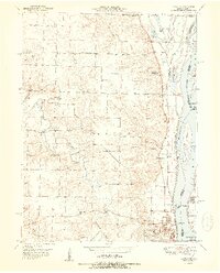
1951 · Canton
USGS Topo · 1:24,000