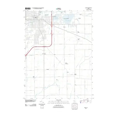
2010 Map of Lima
USGS Topo · Published 2010About this map
The city of Lima serves as the focal point for this 2010 survey of Allen County, Ohio, showcasing a landscape defined by significant water management and academic infrastructure. Large-scale reservoirs, including Ferguson Reservoir and Lost Creek Reservoir, dominate the northeastern sector, while the Auglaize River and Ottawa River trace through the agricultural and suburban transition. The presence of the Ohio State University campus and the Allen County Fairgrounds highlights the region's role as a regional educational and cultural hub during this era.
Find a feature on this map
70 named features on this map. Tap any name to fly to it.
Don’t see what you’re looking for? This feature index may not catch every label — zoom into the map to look around manually.
Map Details
Editions of this 2010 Lima Map
This is the sole edition of this map. No revisions or reprints were ever made.
Other maps of this area

1906 · Lima
USGS Topo · 1:62,500

1906 · Columbus Grove
USGS Topo · 1:62,500

1907 · Bluffton
USGS Topo · 1:62,500

1908 · Columbus Grove
USGS Topo · 1:62,500

1913 · Alger
USGS Topo · 1:48,000

1915 · Alger
USGS Topo · 1:62,500

1943 · Alger
USGS Topo · 1:62,500

1950 · Marion
USGS Topo · 1:250,000

1953 · Muncie
USGS Topo · 1:250,000

1956 · Muncie
USGS Topo · 1:250,000