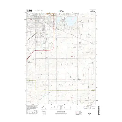
2016 Map of Lima
USGS Topo · Published 2016About this map
Lima serves as the urban anchor for this 2016 survey, where the downtown grid transitions into industrial zones and residential outskirts. The northern sector is defined by significant water management infrastructure, including the large Ferguson Reservoir, Twin Lake Reservoir, and Lost Cr Reservoir, which parallel the course of the Ottawa River. Educational and logistical hubs are prominent on the eastern side of the city, notably the Ohio State University-Lima Campus, James A Rhodes State Coll, and the Lima Allen County Airport.
Find a feature on this map
167 named features on this map. Tap any name to fly to it.
Don’t see what you’re looking for? This feature index may not catch every label — zoom into the map to look around manually.
Map Details
Editions of this 2016 Lima Map
This is the sole edition of this map. No revisions or reprints were ever made.
Other maps of this area

1906 · Lima
USGS Topo · 1:62,500

1906 · Columbus Grove
USGS Topo · 1:62,500

1907 · Bluffton
USGS Topo · 1:62,500

1908 · Columbus Grove
USGS Topo · 1:62,500

1913 · Alger
USGS Topo · 1:48,000

1915 · Alger
USGS Topo · 1:62,500

1943 · Alger
USGS Topo · 1:62,500

1950 · Marion
USGS Topo · 1:250,000

1953 · Muncie
USGS Topo · 1:250,000

1956 · Muncie
USGS Topo · 1:250,000