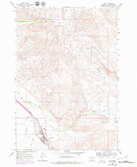
1965 Map of Lima
USGS Topo · Published 1979About this map
Lima serves as a vital rail and ranching hub in southwestern Montana, positioned where the Union Pacific line follows the broad valley of the Red Rock River. The town's community infrastructure is well-defined, featuring the High Sch, the Rodeo Ground on the western edge, and the Mount Moriah Cem to the south. The landscape is characterized by the convergence of several waterways, including Willow Creek, Birch Creek, and Junction Creek, which drain the surrounding highlands toward the river. To the northeast, the terrain opens into the expansive Antelope Flat, while numerous Jeep Trails wind through the hills, indicating the importance of land access for local ranching and resource management. The map's detail, updated in the late 1970s, preserves the mid-century layout of this Beaverhead County settlement during a period of established mountain-basin commerce.
Find a feature on this map
18 named features on this map. Tap any name to fly to it.
Don’t see what you’re looking for? This feature index may not catch every label — zoom into the map to look around manually.
Map Details
Editions of this 1965 Lima Map
3 editions found
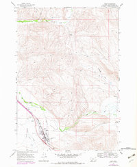
Other maps of this area

1955 · Dubois
USGS Topo · 1:250,000

1958 · Dubois
USGS Topo · 1:250,000

1965 · Gallagher Gulch
USGS Topo · 1:24,000

1965 · Lima
USGS Topo · 1:24,000

1965 · Briggs Ranch
USGS Topo · 1:24,000

1965 · Rock Island Ranch
USGS Topo · 1:24,000

1965 · Dell
USGS Topo · 1:24,000

1965 · Lima Peaks
USGS Topo · 1:24,000

1968 · Snowline
USGS Topo · 1:24,000

1968 · Vinegar Hill
USGS Topo · 1:24,000