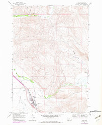
1965 Map of Lima
USGS Topo · Published 1979About this map
Lima serves as the focal point of this survey, positioned where the Union Pacific railroad tracks parallel the Red Rock River. The settlement's layout reveals a community centered around transportation and local institutions, including a High Sch and the Rodeo Ground on the western edge of town. To the southeast, the Mount Moriah Cem sits near the base of the rising terrain, while the surrounding landscape is defined by the convergence of several waterways including Junction Creek, Willow Creek, and Alder Creek.
Find a feature on this map
19 named features on this map. Tap any name to fly to it.
Don’t see what you’re looking for? This feature index may not catch every label — zoom into the map to look around manually.
Map Details
Editions of this 1965 Lima Map
3 editions found
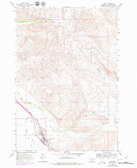
Other maps of this area

1955 · Dubois
USGS Topo · 1:250,000

1958 · Dubois
USGS Topo · 1:250,000

1965 · Gallagher Gulch
USGS Topo · 1:24,000

1965 · Lima
USGS Topo · 1:24,000

1965 · Briggs Ranch
USGS Topo · 1:24,000

1965 · Rock Island Ranch
USGS Topo · 1:24,000

1965 · Dell
USGS Topo · 1:24,000

1965 · Lima Peaks
USGS Topo · 1:24,000

1968 · Snowline
USGS Topo · 1:24,000

1968 · Vinegar Hill
USGS Topo · 1:24,000