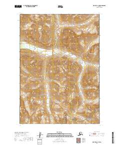
2019 Map of Lime Hills A-2 NE
USGS Topo · Published 2019About this map
Merrill River carves through the center of this terrain, marking a boundary between the Bethel Census Area and Kenai Peninsula Borough. This remote landscape is defined by the high-elevation transition between protected lands, specifically where the Lake Clark National Preserve meets the Lake Clark National Park in the south. The topography is dominated by significant peaks and ridgelines, most notably Goldpan Peak, which towers over the river valley. The map details the complex legal boundaries and township divisions, including t13n r23w and t12n r24w, reflecting how modern federal land management and local borough lines intersect in the Alaskan interior.
Find a feature on this map
9 named features on this map. Tap any name to fly to it.
Don’t see what you’re looking for? This feature index may not catch every label — zoom into the map to look around manually.
Map Details
Editions of this 2019 Lime Hills A-2 NE Map
This is the sole edition of this map. No revisions or reprints were ever made.
Other maps of this area

1951 · Lime Hills
USGS Topo · 1:250,000

1958 · Lime Hills A-2
USGS Topo · 1:63,360

1958 · Lime Hills B-1
USGS Topo · 1:63,360
1958 · Lime Hills A-1
USGS Topo · 1:63,360
1958 · Lime Hills B-2
USGS Topo · 1:63,360

1958 · Lime Hills
USGS Topo · 1:250,000
2019 · Lime Hills B-2 SE
USGS Topo · 1:25,000
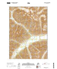
2019 · Lime Hills A-1 SW
USGS Topo · 1:25,000
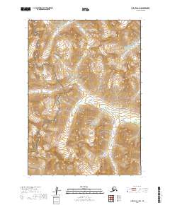
2019 · Lime Hills A-1 NW
USGS Topo · 1:25,000
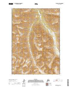
2019 · Lime Hills A-2 SW
USGS Topo · 1:25,000