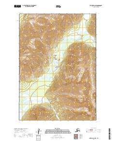
2019 Map of Lime Hills A-2 NW
USGS Topo · Published 2019About this map
The Lake Clark National Preserve dominates this wild landscape within the Bethel Census Area, where glacial river systems carve through steep elevation changes. The Necons River flows prominently through the central corridor of the map, fed by numerous unnamed tributaries descending from the high ridges. Further south, the Tlikakila River emerges, eventually tracing toward the southern boundary of the protected area. The map illustrates a transitional wilderness where high-altitude contour lines give way to the broader river basins near Two Lakes. This 2019 survey documents the intricate hydrography of the region, including the headwaters of the Merrill River, offering a clear view of the natural drainage patterns that have shaped the interior of the preserve.
Find a feature on this map
9 named features on this map. Tap any name to fly to it.
Don’t see what you’re looking for? This feature index may not catch every label — zoom into the map to look around manually.
Map Details
Editions of this 2019 Lime Hills A-2 NW Map
This is the sole edition of this map. No revisions or reprints were ever made.
Other maps of this area

1951 · Lime Hills
USGS Topo · 1:250,000

1954 · Lime Hills A-3
USGS Topo · 1:63,360

1954 · Lime Hills B-3
USGS Topo · 1:63,360

1958 · Lime Hills A-2
USGS Topo · 1:63,360
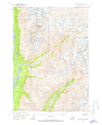
1958 · Lime Hills B-2
USGS Topo · 1:63,360

1958 · Lime Hills
USGS Topo · 1:250,000
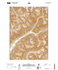
2019 · Lime Hills B-2 SE
USGS Topo · 1:25,000
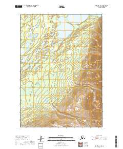
2019 · Lime Hills A-3 SE
USGS Topo · 1:25,000
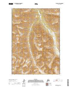
2019 · Lime Hills A-2 SW
USGS Topo · 1:25,000
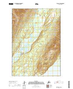
2019 · Lime Hills A-3 NE
USGS Topo · 1:25,000