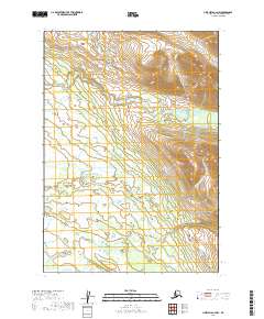
2019 Map of Lime Hills A-4 NW
USGS Topo · Published 2019About this map
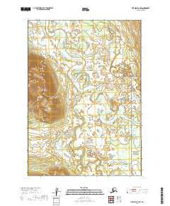
Stony River flows through the southern reaches of this interior landscape, defining the local drainage patterns within the Bethel Census Area. The terrain is characterized by a complex network of seasonal wetlands and glacial streams, including the meandering paths of Rock Cr and Tunkadeshna Cr. This 2019 survey captures the area’s remote hydrologic character, where small waterways like Eagle Mountain Cr descend through varied elevations before joining the larger river system. The map provides a precise record of the Public Land Survey System township boundaries, such as t13n r29w and t12n r28w, which organize this largely unsettled expanse of the Alaskan wilderness.
Find a feature on this map
8 named features on this map. Tap any name to fly to it.
Don’t see what you’re looking for? This feature index may not catch every label — zoom into the map to look around manually.
Map Details
Editions of this 2019 Lime Hills A-4 NW Map
This is the sole edition of this map. No revisions or reprints were ever made.
Other maps of this area

1951 · Lime Hills
USGS Topo · 1:250,000

1954 · Lime Hills A-5
USGS Topo · 1:63,360

1954 · Lime Hills B-4
USGS Topo · 1:63,360

1954 · Lime Hills A-4
USGS Topo · 1:63,360

1954 · Lime Hills B-5
USGS Topo · 1:63,360

1958 · Lime Hills
USGS Topo · 1:250,000
2019 · Lime Hills B-5 SE
USGS Topo · 1:25,000
2019 · Lime Hills A-5 SE
USGS Topo · 1:25,000
2019 · Lime Hills B-4 SE
USGS Topo · 1:25,000
2019 · Lime Hills A-4 SW
USGS Topo · 1:25,000