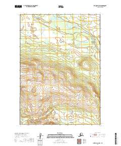
2019 Map of Lime Hills A-5 NW
USGS Topo · Published 2019About this map
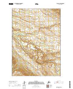
Stony River winds through the northern reaches of this landscape in the Bethel Census Area, where it is joined by the waters of Underhill Cr. The terrain is defined by a significant elevation gradient, rising from the river lowlands in the north to more complex topographical formations in the south, reaching heights over 2,400 feet. This 2019 survey documents the intricate natural drainage and contour patterns of the Lime Hills A-5 NW region, illustrating the vast unpopulated interior of western Alaska. The map provides a detailed study of land divisions within the Public Land Survey System, specifically marking the intersections of t13n r31w, t13n r30w, t12n r32w, and t12n r31w.
Find a feature on this map
6 named features on this map. Tap any name to fly to it.
Don’t see what you’re looking for? This feature index may not catch every label — zoom into the map to look around manually.
Map Details
Editions of this 2019 Lime Hills A-5 NW Map
This is the sole edition of this map. No revisions or reprints were ever made.
Other maps of this area

1951 · Lime Hills
USGS Topo · 1:250,000

1954 · Lime Hills A-5
USGS Topo · 1:63,360

1954 · Lime Hills B-5
USGS Topo · 1:63,360

1954 · Lime Hills A-6
USGS Topo · 1:63,360

1954 · Lime Hills B-6
USGS Topo · 1:63,360

1958 · Lime Hills
USGS Topo · 1:250,000
2019 · Lime Hills B-5 SE
USGS Topo · 1:25,000
2019 · Lime Hills A-5 SE
USGS Topo · 1:25,000
2019 · Lime Hills B-5 SW
USGS Topo · 1:25,000
2019 · Lime Hills A-5 NE
USGS Topo · 1:25,000