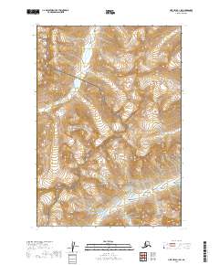
2019 Map of Lime Hills B-1 SW
USGS Topo · Published 2019About this map
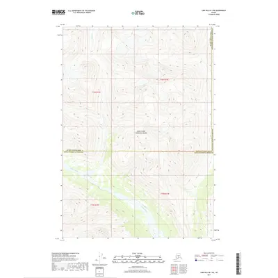
The Necons River flows across the northern high country of the Lake Clark National Preserve in this 2019 survey of the Kenai Peninsula Borough. The landscape is defined by its deep alpine valleys and glacial drainages, where the transition between the national preserve and the Lake Clark National Park occurs near the center of the sheet. In the southern portion, the Igitna River meanders through a lower-elevation corridor, illustrating the complex hydrography of the region. The map provides clear delineation of these federally protected lands, showing the stark glacial topography that separates these two distinct wilderness designations.
Find a feature on this map
10 named features on this map. Tap any name to fly to it.
Don’t see what you’re looking for? This feature index may not catch every label — zoom into the map to look around manually.
Map Details
Editions of this 2019 Lime Hills B-1 SW Map
This is the sole edition of this map. No revisions or reprints were ever made.
Other maps of this area

1951 · Lime Hills
USGS Topo · 1:250,000

1958 · Lime Hills A-2
USGS Topo · 1:63,360

1958 · Lime Hills B-1
USGS Topo · 1:63,360
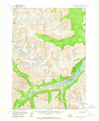
1958 · Lime Hills A-1
USGS Topo · 1:63,360
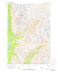
1958 · Lime Hills B-2
USGS Topo · 1:63,360

1958 · Lime Hills
USGS Topo · 1:250,000
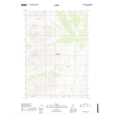
2017 · Lime Hills B-1 SE
USGS Topo · 1:25,000
2017 · Lime Hills B-1 NE
USGS Topo · 1:25,000
2019 · Lime Hills B-2 SE
USGS Topo · 1:25,000
2019 · Lime Hills A-1 NE
USGS Topo · 1:25,000