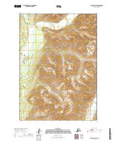
2019 Map of Lime Hills B-2 SW
USGS Topo · Published 2019About this map
Stony River winds through the northwestern corner of this 2019 survey, defining a broad valley that transitions into the steep, high-elevation slopes of the southwestern interior. This portion of the Lake Clark National Preserve represents a landscape largely untouched by permanent settlement or infrastructure, dominated instead by the natural drainage systems of the Stony River and the Necons River in the southeast. The map illustrates the complex topography of the Lime Hills, where glacial valleys and sharp ridgelines dictate the character of the terrain. The absence of roads or established trails highlights the wilderness status of this region within the Bethel Census Area, offering a primary record of the hydrography and elevation contours that define this protected Alaskan environment.
Find a feature on this map
9 named features on this map. Tap any name to fly to it.
Don’t see what you’re looking for? This feature index may not catch every label — zoom into the map to look around manually.
Map Details
Editions of this 2019 Lime Hills B-2 SW Map
This is the sole edition of this map. No revisions or reprints were ever made.
Other maps of this area

1951 · Lime Hills
USGS Topo · 1:250,000

1954 · Lime Hills A-3
USGS Topo · 1:63,360

1954 · Lime Hills B-3
USGS Topo · 1:63,360

1958 · Lime Hills A-2
USGS Topo · 1:63,360
1958 · Lime Hills B-2
USGS Topo · 1:63,360

1958 · Lime Hills
USGS Topo · 1:250,000
2019 · Lime Hills B-2 SE
USGS Topo · 1:25,000
2019 · Lime Hills A-3 NE
USGS Topo · 1:25,000
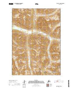
2019 · Lime Hills A-2 NE
USGS Topo · 1:25,000
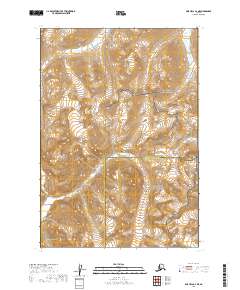
2019 · Lime Hills B-2 NE
USGS Topo · 1:25,000