
1954 Map of Lime Hills B-7
USGS Topo · Published 1968About this map
Lime Village sits along the northern bank of the Stony River, serving as a primary point of human presence in this mid-century Alaskan interior landscape. The area is dominated by the prominent peaks of the Lime Hills, which rise between the river's winding path and a cluster of significant water bodies to the north, including North Lime Lake and East Lime Lake. The drainage patterns are clearly defined by smaller tributaries like Hungry Creek and larger basins such as Trout Lake to the south. This 1954 field-annotated map provides a look at the region before significant modern development, where a single Cabin and the isolated settlement at Lime Village are the few markers of permanent structures amidst the complex topography of the Kuskokwim River watershed.
Find a feature on this map
10 named features on this map. Tap any name to fly to it.
Don’t see what you’re looking for? This feature index may not catch every label — zoom into the map to look around manually.
Map Details
Editions of this 1954 Lime Hills B-7 Map
This is the sole edition of this map. No revisions or reprints were ever made.
Other maps of this area

1951 · Lime Hills
USGS Topo · 1:250,000
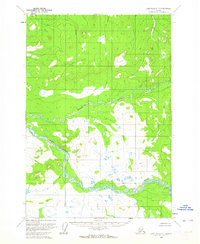
1954 · Lime Hills C-7
USGS Topo · 1:63,360

1954 · Lime Hills A-8
USGS Topo · 1:63,360

1954 · Lime Hills C-6
USGS Topo · 1:63,360

1954 · Lime Hills A-7
USGS Topo · 1:63,360

1954 · Lime Hills A-6
USGS Topo · 1:63,360

1954 · Lime Hills B-8
USGS Topo · 1:63,360

1954 · Lime Hills B-6
USGS Topo · 1:63,360
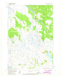
1958 · Lime Hills C-8
USGS Topo · 1:63,360

1958 · Lime Hills
USGS Topo · 1:250,000