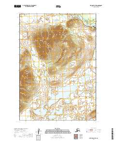
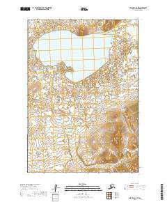
2019 Map of Lime Hills B-7 SW
USGS Topo · Published 2019About this map
The Lime Hills dominate this interior Alaska landscape, providing a dramatic vertical contrast to the low-lying wetlands and river systems that define the surrounding Bethel Census Area. Along the northern edge of the sheet, the Stony River winds through a complex network of braids and oxbows, serving as the primary geographic artery for the region. The map documents the vital infrastructure of the Lime Village Airport, which serves as a critical connection point in this roadless terrain where travel is dictated by flight and watercraft.
Find a feature on this map
12 named features on this map. Tap any name to fly to it.
Don’t see what you’re looking for? This feature index may not catch every label — zoom into the map to look around manually.
Map Details
Editions of this 2019 Lime Hills B-7 SW Map
This is the sole edition of this map. No revisions or reprints were ever made.
Other maps of this area

1951 · Lime Hills
USGS Topo · 1:250,000

1954 · Lime Hills A-8
USGS Topo · 1:63,360

1954 · Lime Hills B-7
USGS Topo · 1:63,360

1954 · Lime Hills A-7
USGS Topo · 1:63,360

1954 · Lime Hills B-8
USGS Topo · 1:63,360

1958 · Lime Hills
USGS Topo · 1:250,000
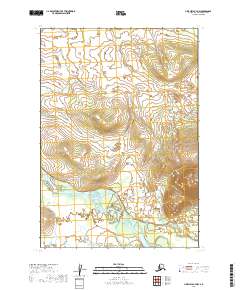
2019 · Lime Hills B-7 NW
USGS Topo · 1:25,000
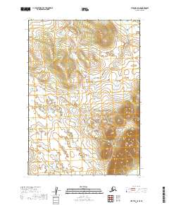
2019 · Lime Hills B-8 SE
USGS Topo · 1:25,000
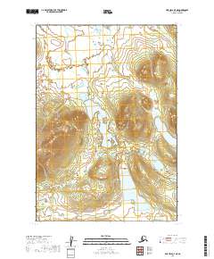
2019 · Lime Hills B-7 NE
USGS Topo · 1:25,000
2019 · Lime Hills A-8 NE
USGS Topo · 1:25,000