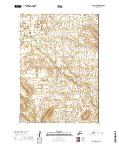
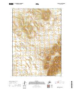
2019 Map of Lime Hills B-8 SW
USGS Topo · Published 2019About this map
Stink River winds through this interior Alaskan landscape, serving as the primary drainage for a region characterized by its complex hydrology and low-lying wetlands. The survey reveals a landscape of countless small ponds and meandering channels, typical of the Bethel Census Area's wilderness. Surveyed by the U.S. Geological Survey using National Hydrography Dataset and Elevation Dataset sources, this sheet provides a high-resolution look at the terrain's natural contours. The absence of roads or permanent settlements emphasizes the region's character as a remote riverine environment, where the shifting path of the river is the dominant geographical force.
Find a feature on this map
5 named features on this map. Tap any name to fly to it.
Don’t see what you’re looking for? This feature index may not catch every label — zoom into the map to look around manually.
Map Details
Editions of this 2019 Lime Hills B-8 SW Map
This is the sole edition of this map. No revisions or reprints were ever made.
Other maps of this area

1950 · Sleetmute
USGS Topo · 1:250,000

1951 · Lime Hills
USGS Topo · 1:250,000

1954 · Lime Hills A-8
USGS Topo · 1:63,360

1954 · Sleetmute
USGS Topo · 1:250,000
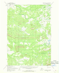
1954 · Sleetmute A-1
USGS Topo · 1:63,360

1954 · Lime Hills B-8
USGS Topo · 1:63,360
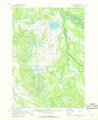
1954 · Sleetmute B-1
USGS Topo · 1:63,360

1958 · Lime Hills
USGS Topo · 1:250,000
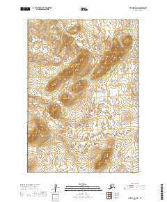
2019 · Lime Hills A-8 NW
USGS Topo · 1:25,000
2019 · Lime Hills B-8 SE
USGS Topo · 1:25,000