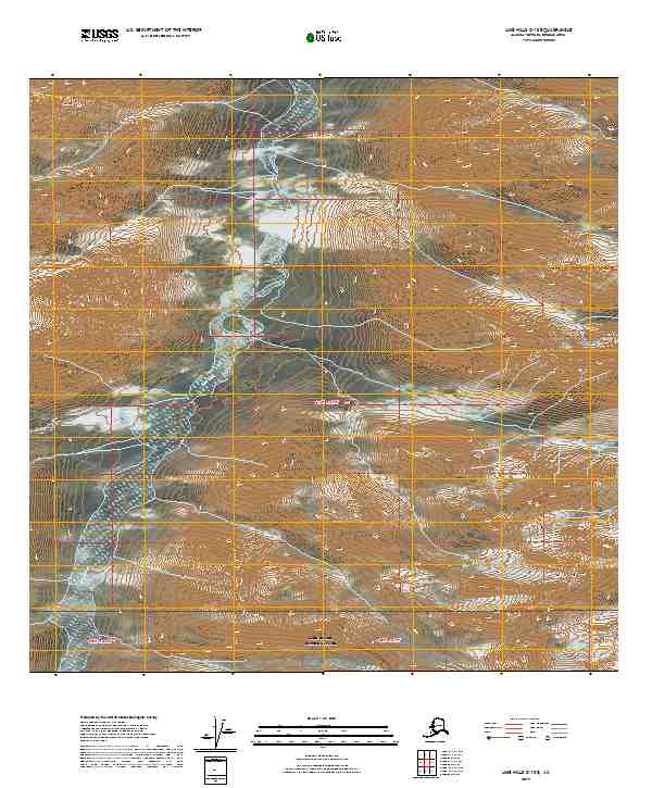
2019 Map of Lime Hills C-1 SE
USGS Topo · Published 2019About this map
Lake Clark National Park anchors the southern portion of this landscape, where the high-altitude terrain of the Alaska Range begins to descend into the interior. The dramatic topography is defined by the headwaters and drainage of the Styx River, which winds through a deep valley between steep ridges. To the southeast, Crystal Cr cuts through the elevation, illustrating the remote hydrological patterns that characterize the Bethel Census Area. This 2019 survey provides a precise look at the township and range boundaries including t17n r21w and t16n r22w, serving as a modern reference for the federal land divisions within the national park and its immediate northern wilderness.
Find a feature on this map
9 named features on this map. Tap any name to fly to it.
Don’t see what you’re looking for? This feature index may not catch every label — zoom into the map to look around manually.
Map Details
Editions of this 2019 Lime Hills C-1 SE Map
This is the sole edition of this map. No revisions or reprints were ever made.
Other maps of this area

1949 · Tyonek
USGS Topo · 1:250,000

1951 · Tyonek
USGS Topo · 1:250,000

1951 · Lime Hills
USGS Topo · 1:250,000

1958 · Tyonek B-8
USGS Topo · 1:63,360

1958 · Tyonek C-8
USGS Topo · 1:63,360

1958 · Tyonek
USGS Topo · 1:250,000

1958 · Lime Hills B-1
USGS Topo · 1:63,360

1958 · Lime Hills C-1
USGS Topo · 1:63,360

1958 · Lime Hills
USGS Topo · 1:250,000

1965 · Tyonek
USGS Topo · 1:250,000