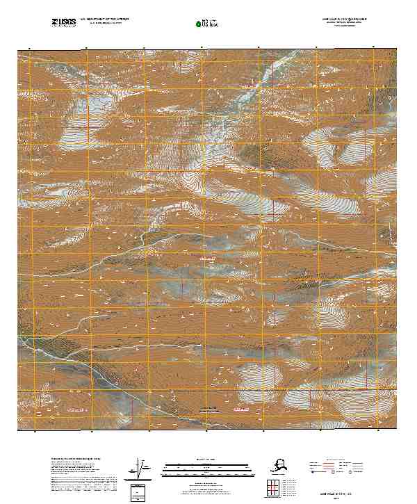
2019 Map of LIme Hills C-1 SW
USGS Topo · Published 2019About this map
Lake Clark National Park occupies the southern portion of this landscape, marking a significant transition into protected wilderness within the Bethel Census Area. The terrain is defined by high-elevation landforms and complex drainage patterns, with the map providing meticulous contour detail at 40-foot intervals. The Public Land Survey System grid is clearly established through various townships including T18n R23w and T17n R22w, reflecting the systematic organization of this remote interior region. Because the map lacks any labeled roads or permanent settlements, it highlights a landscape dominated by natural topography and glacial remnants, offering a precise look at the land's character before modern infrastructure reached this corner of the state. It is an essential document for understanding the geographic layout of the park's northern reaches and the surrounding wilderness tracts.
Find a feature on this map
7 named features on this map. Tap any name to fly to it.
Don’t see what you’re looking for? This feature index may not catch every label — zoom into the map to look around manually.
Map Details
Editions of this 2019 LIme Hills C-1 SW Map
This is the sole edition of this map. No revisions or reprints were ever made.
Other maps of this area

1951 · Lime Hills
USGS Topo · 1:250,000

1958 · Lime Hills B-1
USGS Topo · 1:63,360

1958 · Lime Hills C-1
USGS Topo · 1:63,360

1958 · Lime Hills C-2
USGS Topo · 1:63,360
1958 · Lime Hills B-2
USGS Topo · 1:63,360

1958 · Lime Hills
USGS Topo · 1:250,000
2017 · Lime Hills B-1 NE
USGS Topo · 1:25,000
2017 · Lime Hills C-1 SE
USGS Topo · 1:25,000
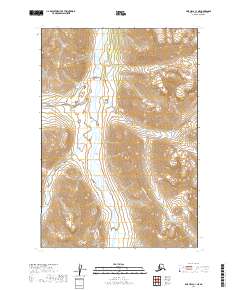
2019 · LIme Hills C-1 NE
USGS Topo · 1:25,000
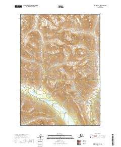
2019 · Lime Hills B-1 NE
USGS Topo · 1:25,000