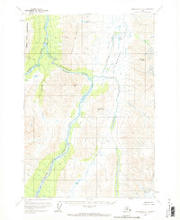
1958 Map of Lime Hills D-1
USGS Topo · Published 1969About this map
The South Fork Kuskokwim River carves a dramatic path through this interior Alaska landscape, dominated by the towering heights of the Terra Cotta Mountains and the Teocalli Mountains. The drainage patterns here reveal a complex network of glacial and mountain streams, including the Hartman River and the narrow passage of Hellsgate, where the river constricts between high ridges.
Find a feature on this map
16 named features on this map. Tap any name to fly to it.
Don’t see what you’re looking for? This feature index may not catch every label — zoom into the map to look around manually.
Map Details
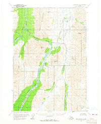
Editions of this 1958 Lime Hills D-1 Map
2 editions found
Other maps of this area

1949 · Tyonek
USGS Topo · 1:250,000

1949 · McGrath
USGS Topo · 1:250,000

1950 · McGrath
USGS Topo · 1:250,000

1950 · Talkeetna
USGS Topo · 1:250,000

1951 · Talkeetna
USGS Topo · 1:250,000

1951 · Tyonek
USGS Topo · 1:250,000

1951 · Lime Hills
USGS Topo · 1:250,000

1958 · Talkeetna A-6
USGS Topo · 1:63,360

1958 · Tyonek C-8
USGS Topo · 1:63,360

1958 · McGrath A-1
USGS Topo · 1:63,360