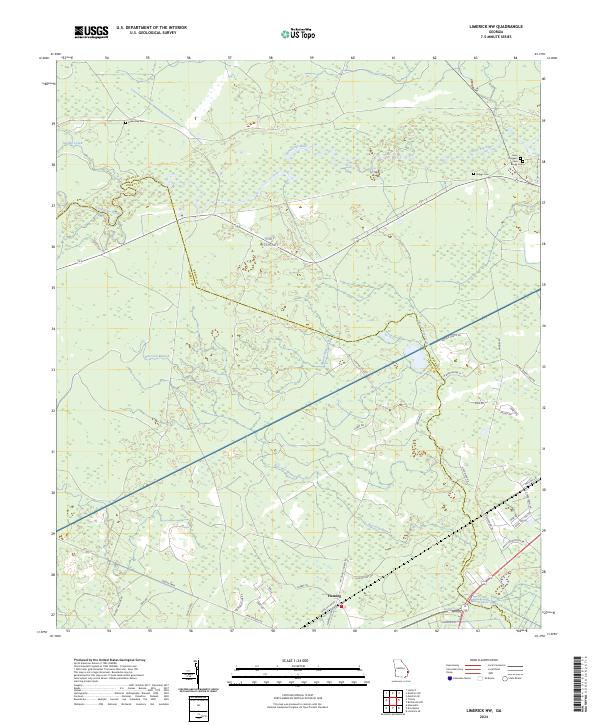
2024 Map of Limerick NW
USGS Topo · Published 2024About this map
The Canoochee River winds through the northern reaches of this coastal Georgia landscape, marking a boundary that transitions into the extensive military lands of Fort Stewart. The community of Fleming sits as a primary point of reference in the south, where local life is defined by a network of rural roads like Fleming Cir Rd and Tunie Miller Rd. The area is characterized by low-lying wetlands and drainage systems such as Raccoon Branch and Savage Creek, which have influenced the placement of early settlements and family lands.
Find a feature on this map
44 named features on this map. Tap any name to fly to it.
Don’t see what you’re looking for? This feature index may not catch every label — zoom into the map to look around manually.
Map Details
Editions of this 2024 Limerick NW Map
This is the sole edition of this map. No revisions or reprints were ever made.
Other maps of this area

1918 · Hinesville
USGS Topo · 1:62,500

1920 · Pembroke
USGS Topo · 1:62,500

1920 · Meldrim
USGS Topo · 1:62,500

1920 · Limerick
USGS Topo · 1:62,500

1942 · Meldrim
USGS Topo · 1:62,500

1944 · Hinesville
USGS Topo · 1:62,500

1944 · Limerick
USGS Topo · 1:62,500

1946 · Brunswick
USGS Topo · 1:250,000

1947 · Savannah
USGS Topo · 1:250,000

1948 · Brunswick
USGS Topo · 1:250,000