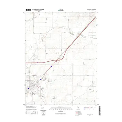
2015 Map of Lincoln East
USGS Topo · Published 2015About this map
Lincoln serves as the focal point of this Central Illinois landscape, where the intersection of education and transportation defines the city's eastern reaches. The map highlights the campuses of Lincoln College and Lincoln Christian College and Seminary, situated near the residential grids of Wyatt Ave and Pulaski St. The surrounding Logan County terrain is characterized by the winding paths of Kickapoo Creek and Deer Creek, which meander through a patchwork of agricultural sections and rural settlements like Lawndale and Skelton.
Find a feature on this map
44 named features on this map. Tap any name to fly to it.
Don’t see what you’re looking for? This feature index may not catch every label — zoom into the map to look around manually.
Map Details
Editions of this 2015 Lincoln East Map
This is the sole edition of this map. No revisions or reprints were ever made.
Other maps of this area

1911 · Lincoln
USGS Topo · 1:62,500

1913 · Lincoln
USGS Topo · 1:62,500

1949 · Mc Lean
USGS Topo · 1:62,500

1951 · McLean
USGS Topo · 1:62,500

1951 · Minier
USGS Topo · 1:62,500

1957 · Kenney
USGS Topo · 1:62,500

1958 · Peoria
USGS Topo · 1:250,000

1961 · Peoria
USGS Topo · 1:250,000

1963 · Peoria
USGS Topo · 1:250,000

1980 · Armington
USGS Topo · 1:24,000